Maiden Street Methodist Church, Weymouth
Map
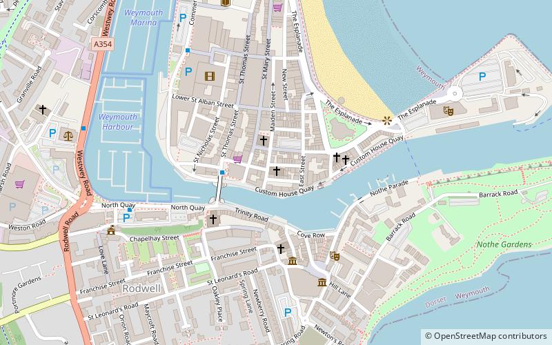
Map

Facts and practical information
Maiden Street Methodist Church is a former Methodist church in Weymouth, Dorset, England. It was built in 1866–67 to the designs of Foster and Wood of Bristol. The church was the victim of fire in 2002 and was subsequently replaced by the Weymouth Bay Methodist Church which opened in 2009. The church, which is a Grade II* listed building, remains a ruin and awaits redevelopment. ()
Coordinates: 50°36'27"N, 2°27'13"W
Address
Weymouth
ContactAdd
Social media
Add
Day trips
Maiden Street Methodist Church – popular in the area (distance from the attraction)
Nearby attractions include: The Esplanade, Nothe Fort, Jubilee Clock, Weymouth Old Town Hall.
Frequently Asked Questions (FAQ)
Which popular attractions are close to Maiden Street Methodist Church?
Nearby attractions include Weymouth Guildhall, Weymouth (1 min walk), St Mary's Church, Weymouth (2 min walk), Weymouth Town Bridge, Weymouth (3 min walk), Weymouth Baptist Church, Weymouth (3 min walk).
How to get to Maiden Street Methodist Church by public transport?
The nearest stations to Maiden Street Methodist Church:
Train
Train
- Weymouth (15 min walk)


