Kings Weston Hill, Bristol
Map

Gallery

Facts and practical information
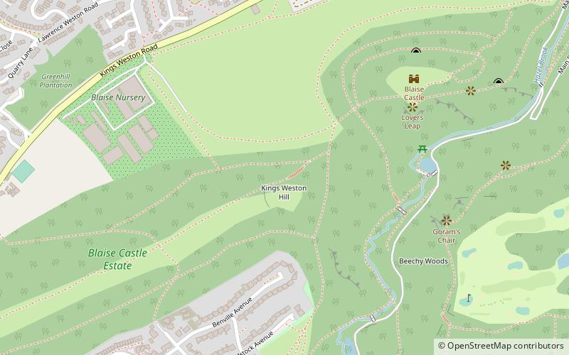
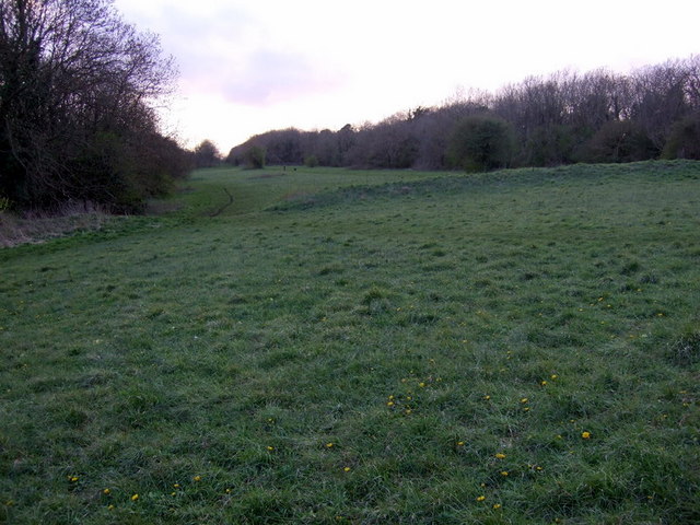
Kings Weston Hill is a hill in the north of Bristol, England. It forms a ridge about 1 mile long, extending from Henbury to Shirehampton and separating Lawrence Weston to the north from Coombe Dingle to the south. The hill is a public open space managed as part of the Blaise Castle Estate. It takes its name from the settlement of Kings Weston, now absorbed into Lawrence Weston. ()
Coordinates: 51°30'3"N, 2°38'28"W
Address
KingswestonBristol
ContactAdd
Social media
Add
Day trips
Kings Weston Hill – popular in the area (distance from the attraction)
Nearby attractions include: Blaise Castle Estate, Kings Weston House, Lawrence Weston, St Mary's Church.
Frequently Asked Questions (FAQ)
Which popular attractions are close to Kings Weston Hill?
Nearby attractions include Blaise Castle Estate, Bristol (2 min walk), Blaise Hamlet, Bristol (14 min walk), St Mary's Church, Bristol (16 min walk), Henbury, Bristol (17 min walk).


