All Saints Church

Gallery (1)
Map
Map
Facts and practical information
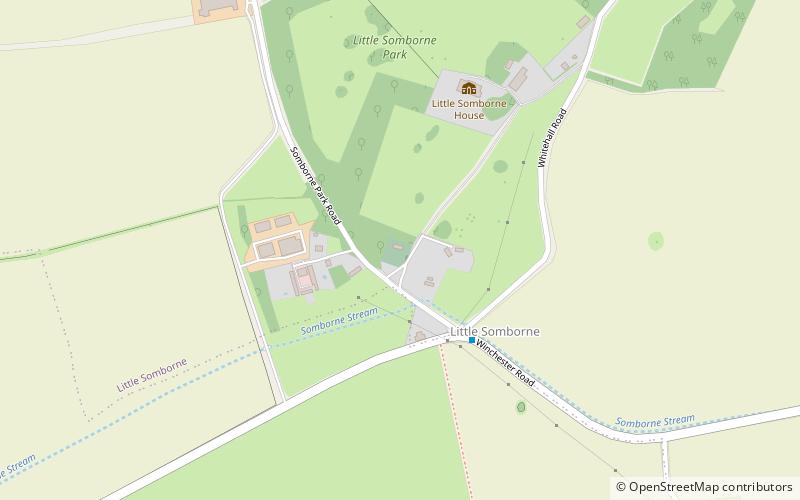
All Saints' Church is a redundant Church of England parish church in the hamlet of Little Somborne, Hampshire, England. It is a Grade II* listed building in the National Heritage List for England and is under the care of the Churches Conservation Trust. The church is about 4 miles southeast of Stockbridge, east of the A3057 road. ()
Architectural style: Anglo-Saxon architectureCoordinates: 51°5'31"N, 1°27'20"W
Day trips