Testway
Map
Facts and practical information
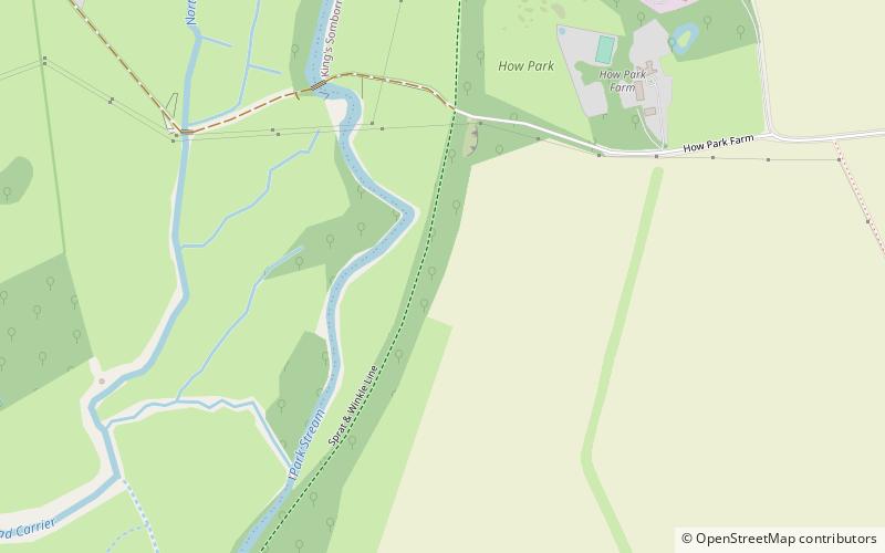
Testway is a 5-mile off-road cycle path in Hampshire, England. The path follows the route of the disused Sprat and Winkle Line between Stonymarsh and Stockbridge and runs in between the River Test and the A3057 road. The Testway is part of regional cycle route 65 which connects national cycle route 24 to Chilbolton. ()
Coordinates: 51°4'49"N, 1°30'6"W
Location
England
ContactAdd
Social media
Add
Day trips