Gilwern Hill
Map

Map

Facts and practical information
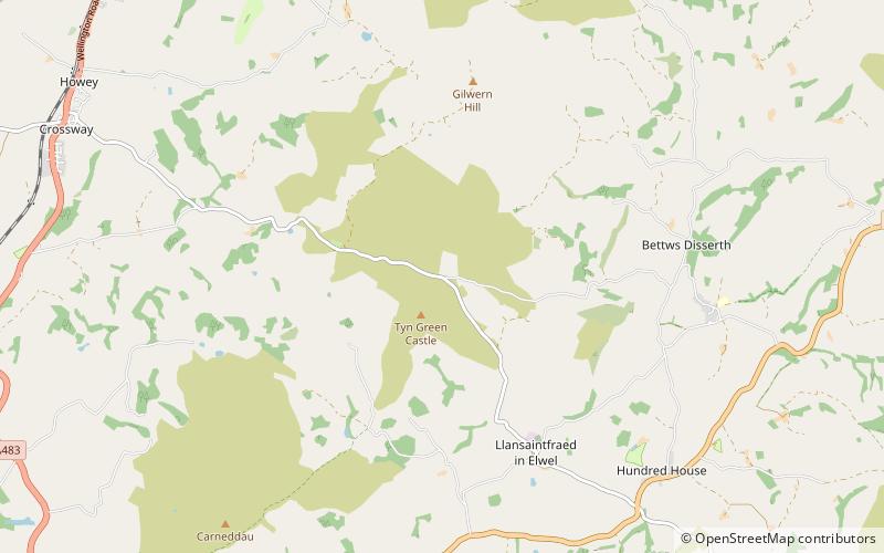
Gilwern Hill is a hill about 3 mi / 5 km southeast of Llandrindod Wells in the county of Powys, Wales. ()
Coordinates: 52°12'0"N, 3°19'60"W
Location
Wales
ContactAdd
Social media
Add
Day trips
Gilwern Hill – popular in the area (distance from the attraction)
Nearby attractions include: National Cycle Collection, Albert Hall, Our Lady of Ransom and the Holy Souls Church, Builth Wells.


