Gwaunceste Hill

Map
Facts and practical information
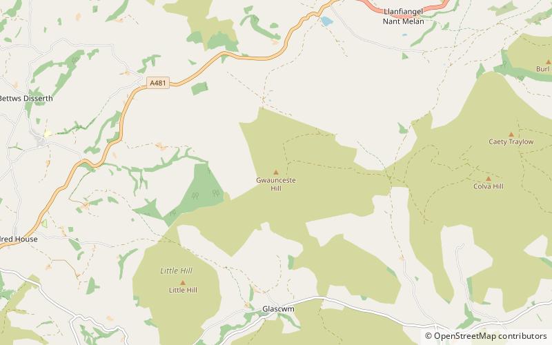
Gwaunceste Hill is a 542-metre-high hill in the county of Powys in east Wales. It falls within the communities of Gladestry and Glascwm around 4 km east of the village of Hundred House and about 2 km north of the hamlet of Glascwm. The headwaters of the River Arrow gather on the eastern slopes of the hill. Drainage of its western slopes is into the River Edw, a tributary of the River Wye. Two subsidiary tops to the southeast and southwest are both known as ‘Little Hill’. ()
Elevation: 1778 ftProminence: 528 ftCoordinates: 52°11'30"N, 3°13'58"W
Location
Wales
ContactAdd
Social media
Add
Day trips
Gwaunceste Hill – popular in the area (distance from the attraction)
Nearby attractions include: Black Mixen, Rhos Fawr, Aberedw Castle, Hay Castle.


