Loch Shurrery

Gallery (1)
Map
Map
Facts and practical information
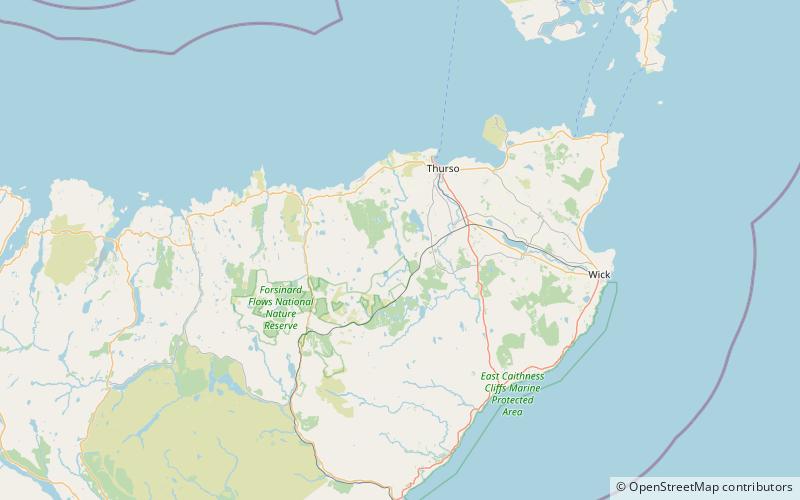
Loch Shurrery is a small, shallow, lowland freshwater loch lying approximately 8 mi south west of Thurso in the Scottish Highlands. The loch has a somewhat elliptical shape with a perimeter of 7.4 km. It is approximately 1.25 mi long, has an average depth of 4.5 ft and is 7 ft at its deepest. The loch was surveyed on 6 October 1902 by John Parsons and T.R.H. Garrett and later charted as part of Sir John Murray's Bathymetrical Survey of Fresh-Water Lochs of Scotland 1897-1909. A dam lies to the north end of the loch. ()
Alternative names: Length: 6600 ftWidth: 2640 ftMaximum depth: 7 ftElevation: 325 ft a.s.l.Coordinates: 58°28'39"N, 3°38'25"W
Location
Scotland
ContactAdd
Social media
Add
Day trips


