Loch Calder
Map

Map

Facts and practical information
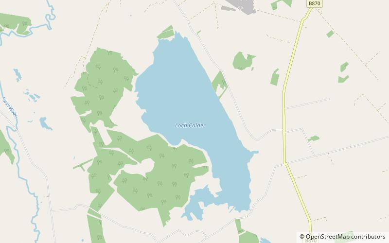
Loch Calder is a lowland freshwater loch lying approximately 5 mi south west of Thurso in the Scottish Highlands. The loch is large with an irregular shape and has perimeter of 12.8 km. It is approximately 2.33 mi long, has an average depth of 21 ft and is 85 ft at its deepest. The loch was surveyed on 6 October 1902 by John Parsons and T.R.H. Garrett and later charted as part of Sir John Murray's Bathymetrical Survey of Fresh-Water Lochs of Scotland 1897-1909. ()
Alternative names: Length: 5 miWidth: 5280 ftMaximum depth: 85 ftElevation: 213 ft a.s.l.Coordinates: 58°31'12"N, 3°35'39"W
Location
Scotland
ContactAdd
Social media
Add
Day trips
Loch Calder – popular in the area (distance from the attraction)
Nearby attractions include: Old St Peter's Church, Thurso Castle, Ca na Catanach, Braal Castle.


