Lambridge Mill, Norfolk Broads
Map
Facts and practical information
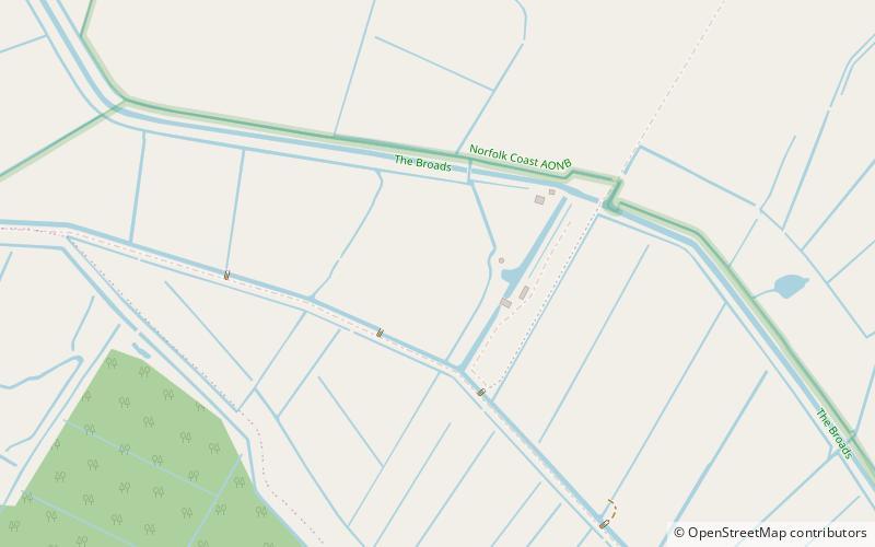
Lambridge Mill also known as Lambrigg Mill is a wind pump located in the parish of Sea Palling within the Norfolk Broads National Park, United Kingdom and can be found at grid reference grid reference TG431252, it is approximately 2 miles southwest of Waxham. The wind pump is a grade II listed building. ()
Coordinates: 52°46'11"N, 1°36'8"E
Address
Norfolk Broads
ContactAdd
Social media
Add
Getting there by public transportation
Public transportation stops near this location
- Bus
 Bus
Bus
- Calculate routeHall Farm, opp 28 min walk
Day trips


Frequently Asked Questions (FAQ)
How to get to Lambridge Mill by public transport?
The nearest stations to Lambridge Mill:
Bus
Bus
- Hall Farm, opp • Lines: 36 (28 min walk)