Leeds city centre, Leeds
Map
Facts and practical information
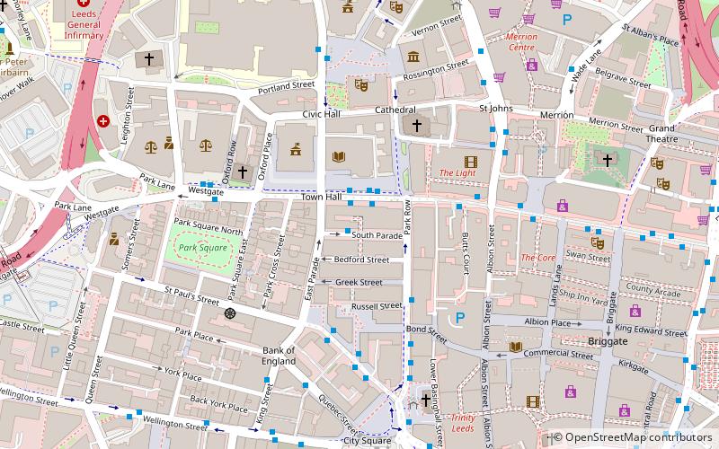
Leeds city centre is the central business district of Leeds, West Yorkshire, England. It is roughly bounded by the Inner Ring Road to the north and the River Aire to the south and can be divided into several quarters. ()
Coordinates: 53°47'57"N, 1°32'54"W
Address
City and Holbeck (Leeds City Centre)Leeds
ContactAdd
Social media
Add
Getting there by public transportation
Public transportation stops near this location
- Bus
- Train
- Ferry
 Bus
Bus
- Calculate routeCivic J 1 min walk
- Calculate routeCivic L 1 min walk
- Calculate routeCivic M 1 min walk
- Calculate routeInfirmary Street 3 min walk
- Calculate routeLeeds 9 min walk
- Calculate routeLeeds Water Taxi Dock 21 min walk
Day trips
Leeds city centre – popular in the area (distance from the attraction)
Nearby attractions include: Trinity Leeds, The Light, The Headrow, St John's Centre.


Frequently Asked Questions (FAQ)
Which popular attractions are close to Leeds city centre?
Nearby attractions include Leeds War Memorial, Leeds (2 min walk), Leeds Art Gallery, Leeds (2 min walk), Forest of Leeds, Leeds (2 min walk), Leeds Art Gallery and The Henry Moore Institute, Leeds (2 min walk).
How to get to Leeds city centre by public transport?
The nearest stations to Leeds city centre:
Bus
Train
Ferry
Bus
- Civic J • Lines: 444, 446 (1 min walk)
- Civic L • Lines: 33, 34 (1 min walk)
Train
- Leeds (9 min walk)
Ferry
- Leeds Water Taxi Dock • Lines: Leeds Dock Water Taxi (21 min walk)