Leicester Square, London
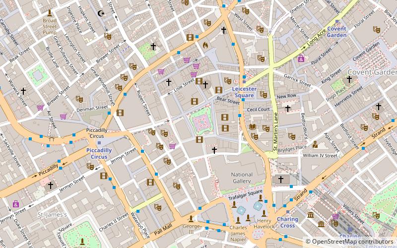
Map
Gallery
Facts and practical information
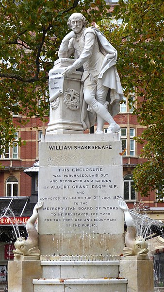
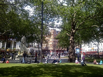
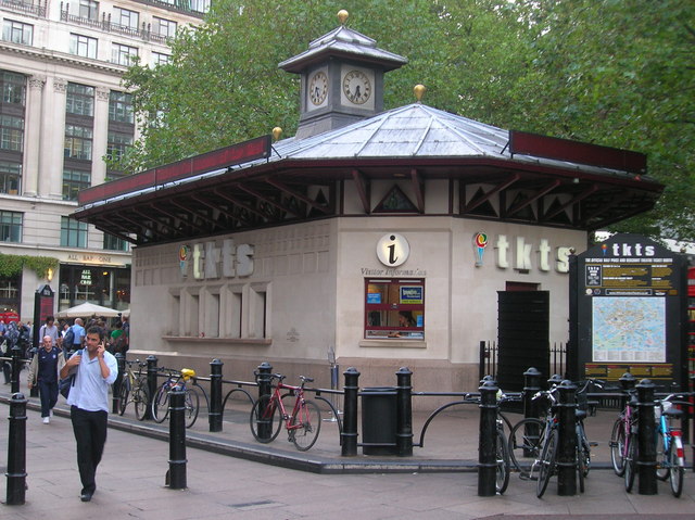
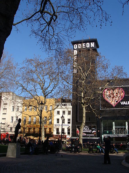
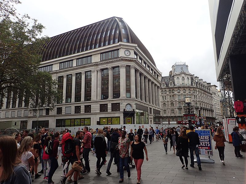
Leicester Square is a pedestrianised square in the West End of London, England. It was laid out in 1670 as Leicester Fields, which was named after the recently built Leicester House, itself named after Robert Sidney, 2nd Earl of Leicester. ()
Day trips
Leicester Square – popular in the area (distance from the attraction)
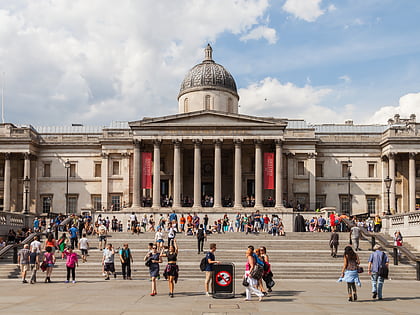
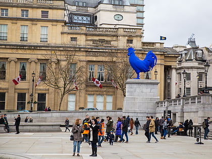
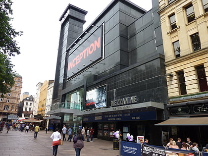
Nearby attractions include: National Gallery, Fourth plinth, Odeon Luxe Leicester Square, Empire.
Frequently Asked Questions (FAQ)
Which popular attractions are close to Leicester Square?
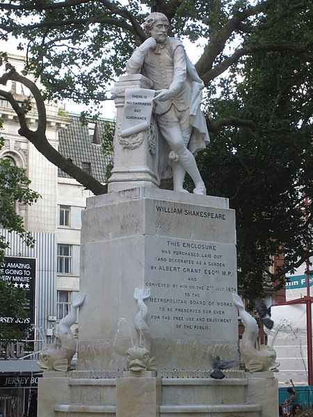
Nearby attractions include Statue of Charlie Chaplin, London (1 min walk), Shakespeare, London (1 min walk), St Martin's Lane, London (2 min walk), National Gallery, London (3 min walk).
How to get to Leicester Square by public transport?
The nearest stations to Leicester Square:
Metro
Bus
Train
Ferry
Metro
- Leicester Square • Lines: Northern, Piccadilly (4 min walk)
- Charing Cross • Lines: Bakerloo, Northern (5 min walk)
Bus
- Trafalgar Square / Charing Cross Station • Lines: N26 (4 min walk)
- Dean Street / Chinatown • Lines: 38, N38 (5 min walk)
Train
- Charing Cross (9 min walk)
- London Waterloo (23 min walk)
Ferry
- Embankment • Lines: Green Tour, Rb1, Rb1X, Rb2, Rb6 (11 min walk)
- Festival Pier • Lines: Green Tour (15 min walk)



 Tube
Tube