Vue West End, London
Map
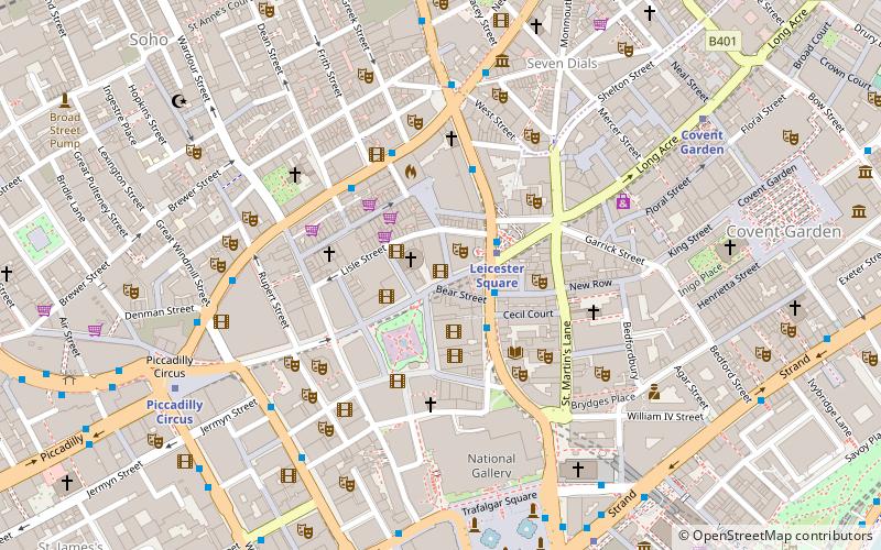
Map

Facts and practical information
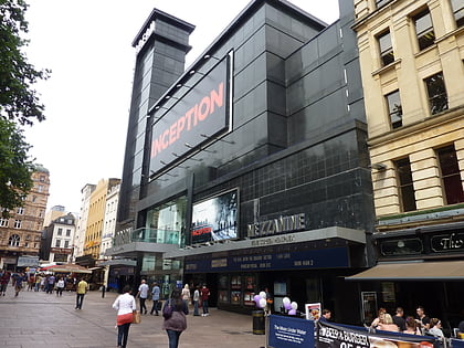
Vue West End is a nine-screen cinema complex in Leicester Square, London, operated by Vue Cinemas. The multiplex was constructed in 1993 on the site of what was previously the Warner West End cinema. ()
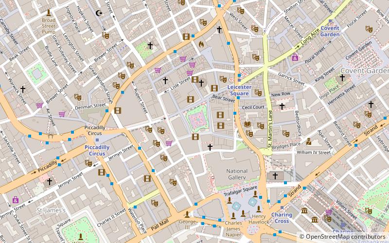
Coordinates: 51°30'40"N, 0°7'46"W
Day trips
Vue West End – popular in the area (distance from the attraction)
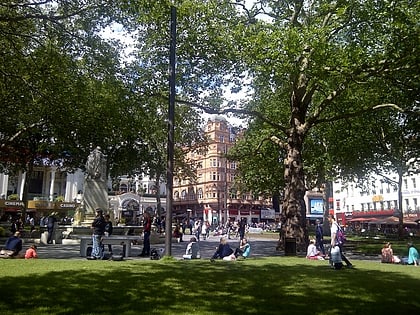
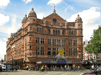
Nearby attractions include: Odeon Luxe Leicester Square, Empire, Leicester Square, Palace Theatre.
Frequently Asked Questions (FAQ)
Which popular attractions are close to Vue West End?
Nearby attractions include Notre Dame de France, London (1 min walk), Hippodrome, London (1 min walk), Leicester Square Theatre, London (1 min walk), Charing Cross Road, London (2 min walk).
How to get to Vue West End by public transport?
The nearest stations to Vue West End:
Metro
Bus
Train
Ferry
Metro
- Leicester Square • Lines: Northern, Piccadilly (2 min walk)
- Charing Cross • Lines: Bakerloo, Northern (7 min walk)
Bus
- Dean Street / Chinatown • Lines: 38, N38 (3 min walk)
- Gerrard Place / Chinatown • Lines: 38, N38 (3 min walk)
Train
- Charing Cross (10 min walk)
- London Waterloo (24 min walk)
Ferry
- Embankment • Lines: Green Tour, Rb1, Rb1X, Rb2, Rb6 (12 min walk)
- Festival Pier • Lines: Green Tour (15 min walk)

 Tube
Tube