Lincoln Cliff, Lincoln
Map

Map

Facts and practical information
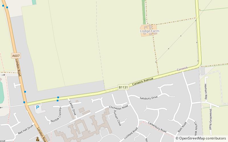
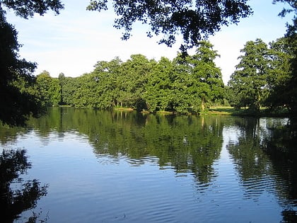
The Lincoln Cliff or Lincoln Edge is a portion of a major escarpment that runs north–south through Lindsey and Kesteven in central Lincolnshire and is a prominent landscape feature in a generally flat portion of the county. ()
Coordinates: 53°12'0"N, 0°31'48"W
Address
Lincoln
ContactAdd
Social media
Add
Day trips
Lincoln Cliff – popular in the area (distance from the attraction)
Nearby attractions include: Boultham Park, St. Catherine's Priory, International Bomber Command Centre, Eleanor cross.
Frequently Asked Questions (FAQ)
How to get to Lincoln Cliff by public transport?
The nearest stations to Lincoln Cliff:
Bus
Bus
- Canwick Avenue • Lines: 1 (8 min walk)
- The Bull • Lines: 1 (8 min walk)


