Montgomery Road, Wath-upon-Dearne

Gallery (1)
Map
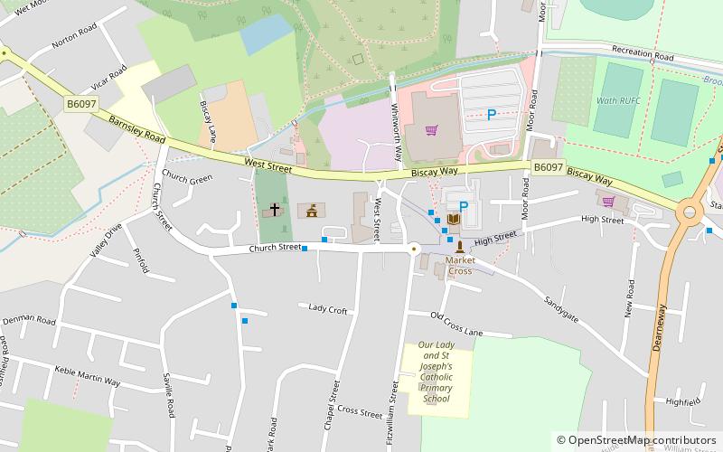
Map
Facts and practical information
Montgomery Road is a place located in Wath-upon-Dearne (England kingdom) and belongs to the category of square.
It is situated at an altitude of 128 feet, and its geographical coordinates are 53°30'10"N latitude and 1°20'50"W longitude.
Among other places and attractions worth visiting in the area are: Wath Hall (church, 3 min walk), RSPB Old Moor, Barnsley (park, 27 min walk), Trans Pennine Trail (hiking, 32 min walk).
Coordinates: 53°30'10"N, 1°20'50"W
Day trips