Trans Pennine Trail
Map

Gallery

Facts and practical information
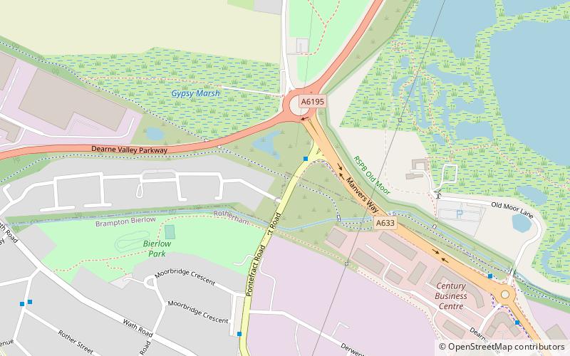
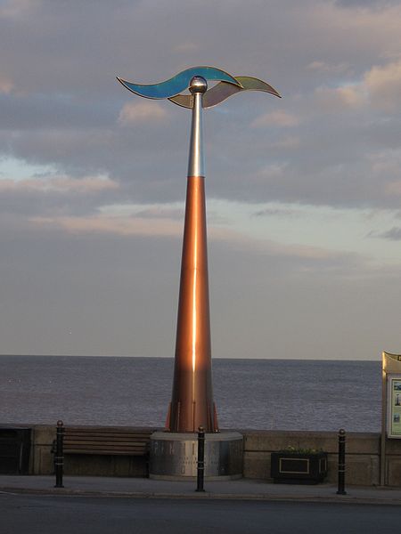
The Trans Pennine Trail is a long-distance path running from coast to coast across Northern England entirely on surfaced paths and using only gentle gradients. It forms part of European walking route E8 and is part of the National Cycle Network as Route 62. ()
Coordinates: 53°30'55"N, 1°22'8"W
Location
England
ContactAdd
Social media
Add
Day trips
Trans Pennine Trail – popular in the area (distance from the attraction)
Nearby attractions include: Wath Hall, RSPB Old Moor, Montgomery Road, Wombwell.


