Liverpool Maritime Mercantile City, Liverpool
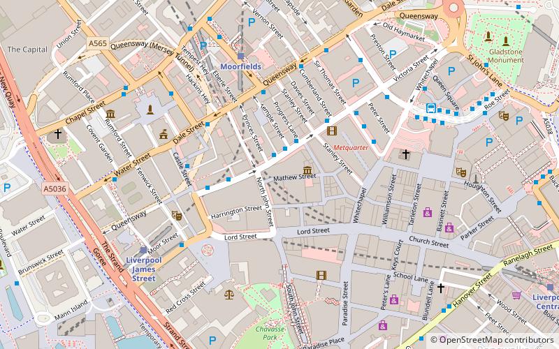
Map
Gallery
Facts and practical information
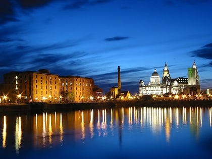
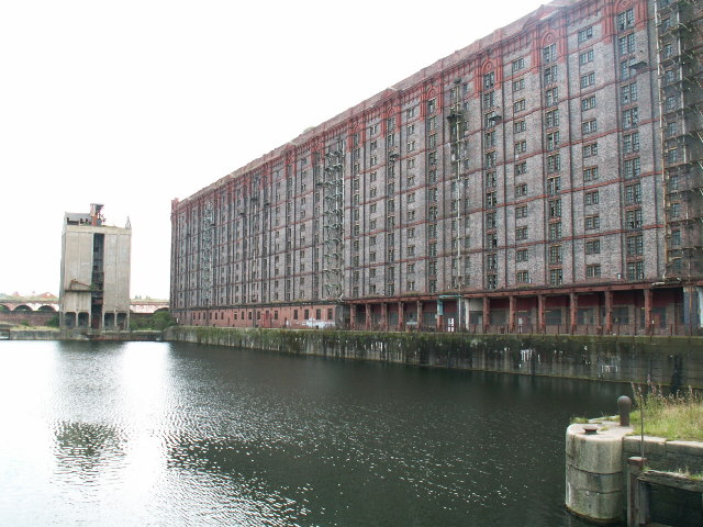
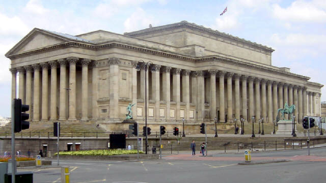
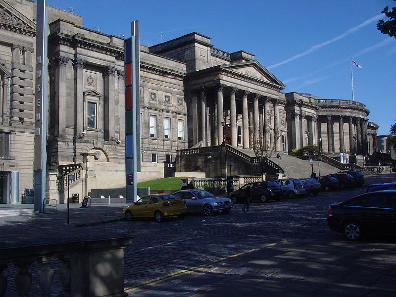
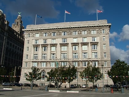
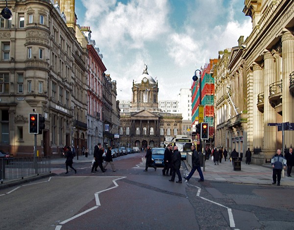
Liverpool Maritime Mercantile City is a former UNESCO designated World Heritage Site in Liverpool, England, that comprised six locations in the city centre including the Pier Head, Albert Dock and William Brown Street, and many of the city's most famous landmarks. ()
Day trips
Liverpool Maritime Mercantile City – popular in the area (distance from the attraction)
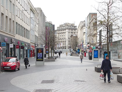
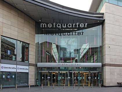
Nearby attractions include: Mathew Street, Lord Street, Pier Head, Metquarter.
Frequently Asked Questions (FAQ)
Which popular attractions are close to Liverpool Maritime Mercantile City?
Nearby attractions include Church of Our Lady and Saint Nicholas, Liverpool (1 min walk), Liverpool Plinth, Liverpool (1 min walk), Western Approaches, Liverpool (2 min walk), Royal Liver Building, Liverpool (2 min walk).
How to get to Liverpool Maritime Mercantile City by public transport?
The nearest stations to Liverpool Maritime Mercantile City:
Train
Bus
Tram
Train
- Liverpool James Street (4 min walk)
- Moorfields (7 min walk)
Bus
- James St/stop Jb • Lines: 18 (5 min walk)
- Dale St/stop Dd • Lines: 18 (7 min walk)
Tram
- Woodside Ferry • Lines: Wirral Tramway (26 min walk)
- Shore Road • Lines: Wirral Tramway (28 min walk)
