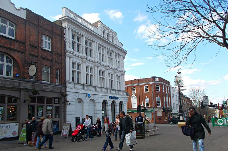
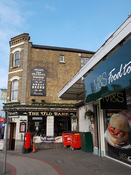
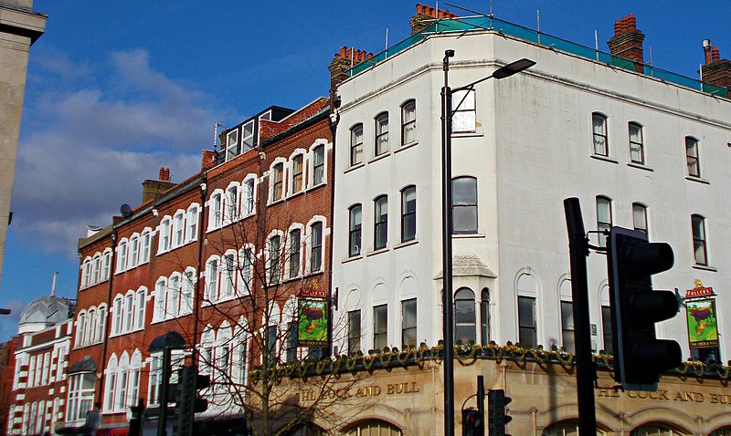
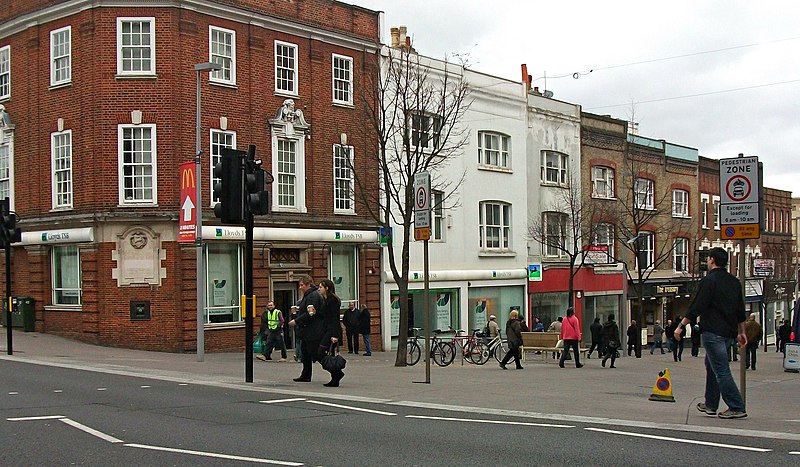
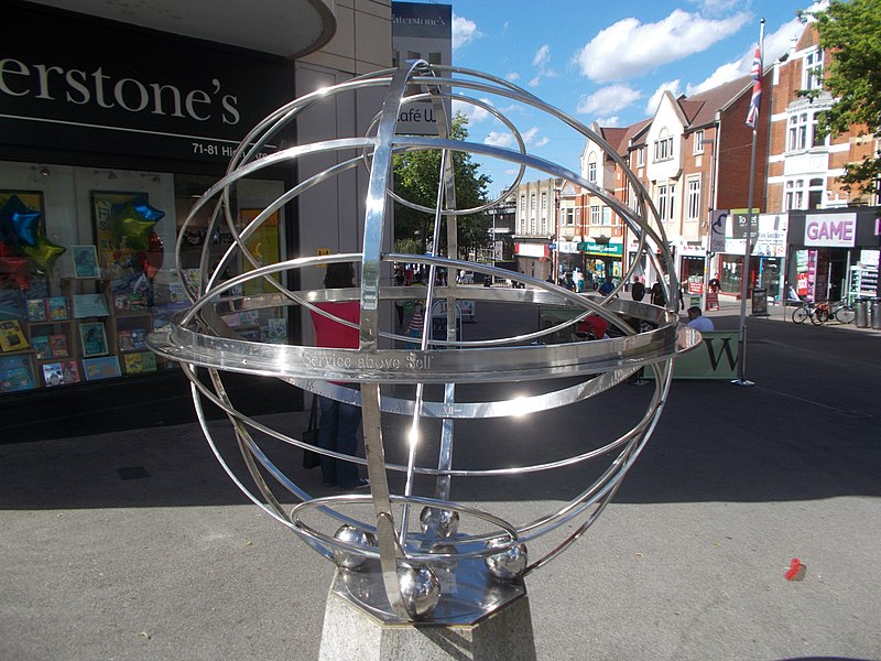
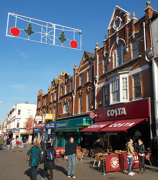
Sutton High Street, London

Gallery (14)
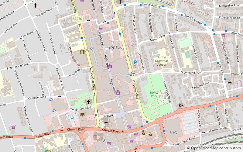
Map

Map

Gallery
Facts and practical information
Sutton High Street is a high street running north–south through the town of Sutton in the London Borough of Sutton. ()
Length: 4752 ftCoordinates: 51°22'18"N, 0°11'40"W
Address
Sutton (Sutton North)London
ContactAdd
Social media
Add
Getting there by public transportation
Public transportation stops near this location
- Bus
- Train
 Bus
Bus
- Calculate routeHail & Ride Holy Family Church 2 min walk
- Calculate routeHail & Ride Lewis Road 3 min walk
- Calculate routeSutton Green 3 min walk
- Calculate routeSutton Common 7 min walk
- Calculate routeWest Sutton 15 min walk
- Calculate routeSutton 22 min walk
- Calculate routeCheam 36 min walk
Maps Tube
Tube
TubeDay trips


Frequently Asked Questions (FAQ)
Which popular attractions are close to Sutton High Street?
Nearby attractions include Anton Crescent Wetland, Malden Rushett (8 min walk), Benhill, Banstead (9 min walk), The Sound Lounge, Banstead (10 min walk), London Borough of Sutton, Banstead (15 min walk).
How to get to Sutton High Street by public transport?
The nearest stations to Sutton High Street:
Bus
Train
Bus
- Hail & Ride Holy Family Church • Lines: S3 (2 min walk)
- Hail & Ride Lewis Road • Lines: S1 (3 min walk)
Train
- Sutton Common (7 min walk)
- West Sutton (15 min walk)