Sutton, London
Map
Gallery
Facts and practical information
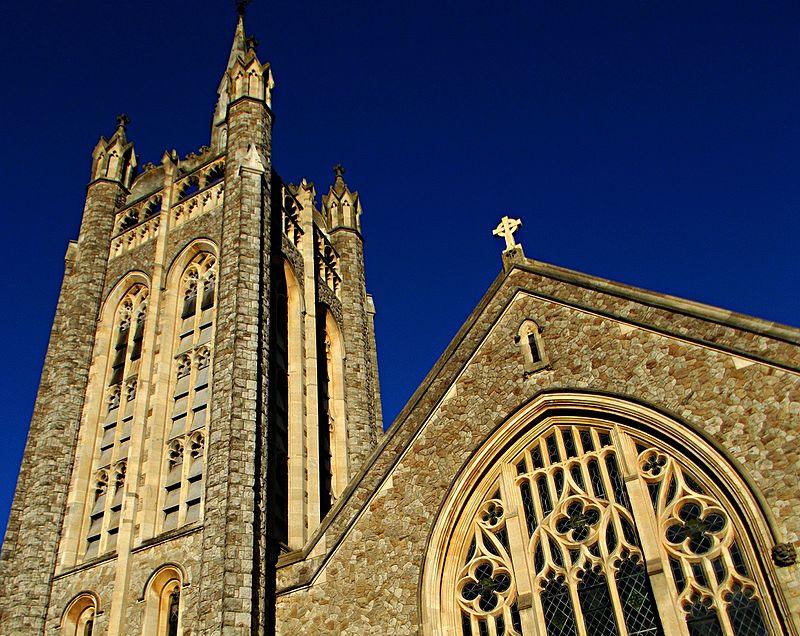
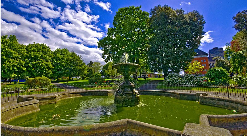
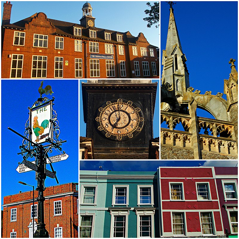
Sutton is the principal town in the London Borough of Sutton in South London, England. It lies on the lower slopes of the North Downs, and is the administrative headquarters of the Outer London borough. It is 10 miles south-south west of Charing Cross, and is one of the thirteen metropolitan centres in the London Plan. The population of the town was counted as 41,483 in the 2011 census, while the borough overall counted 204,525. ()
Address
Sutton (Sutton Central)London
ContactAdd
Social media
Add
Day trips
Sutton – popular in the area (distance from the attraction)
Nearby attractions include: Sutton High Street, Whitehall, Lumley Chapel, Sutton armillary.
Frequently Asked Questions (FAQ)
Which popular attractions are close to Sutton?
Nearby attractions include Sutton armillary, Banstead (4 min walk), Manor Park, London (5 min walk), Sutton Civic Offices, Banstead (5 min walk), London Borough of Sutton, Banstead (6 min walk).
How to get to Sutton by public transport?
The nearest stations to Sutton:
Train
Bus
Train
- Sutton (2 min walk)
- West Sutton (18 min walk)
Bus
- Sutton / Grove Road • Lines: 151, 164, 213, 280, 407, 413, 420, 470, 613, 627, 80, 820, N44, S1, S3, S4, X26 (2 min walk)
- Sutton Police Station • Lines: 151, 164, 213, 280, 407, 413, 420, 470, 613, 627, 80, 820, N44, S1, S3, S4, X26 (3 min walk)





 Tube
Tube


