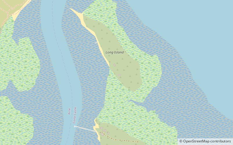
Long Island, Poole
Map

Map

Facts and practical information
Long Island is an uninhabited island in Poole Harbour in the English county of Dorset. It lies just off the shore of the Arne Peninsular in the south-west of the harbour, and is separated from the nearby, and inhabited, Round Island by a narrow channel only a few feet wide. The island covers approximately 30 acres at low tide, reducing to only 9.5 acres at high tide. Long Island lies within the civil parish of Corfe Castle. The parish forms part of the Purbeck local government district. ()
Area: 10.38 acres (0.0162 mi²)Coordinates: 50°41'26"N, 2°1'7"W
Address
Poole
ContactAdd
Social media
Add
Day trips
Long Island – popular in the area (distance from the attraction)
Nearby attractions include: Dolphin Shopping Centre, Statue of Robert Baden-Powell, St James' Church, Poole Museum.
Frequently Asked Questions (FAQ)
Which popular attractions are close to Long Island?
Nearby attractions include Round Island, Poole (8 min walk), Poole Harbour, Poole (24 min walk).


