Leck Fell, Yorkshire Dales National Park
Map

Map

Facts and practical information
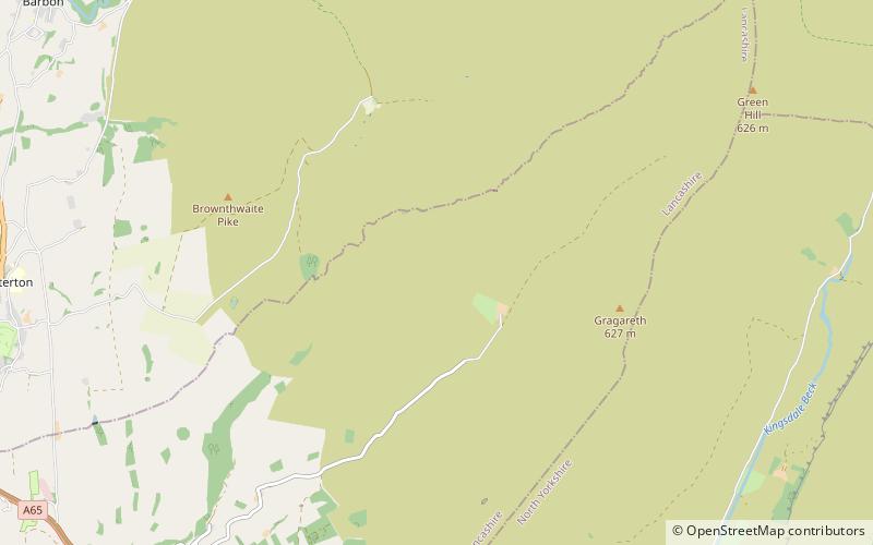
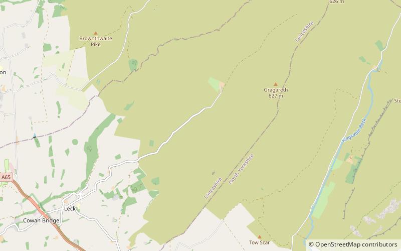
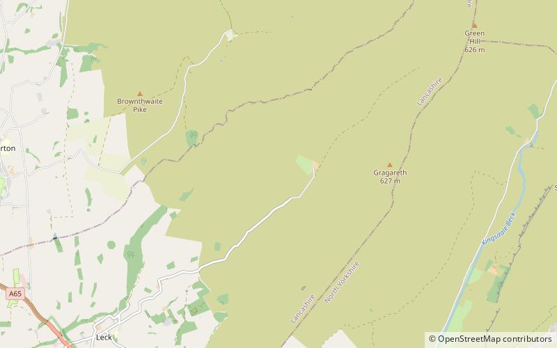
Leck Fell is a Site of Special Scientific Interest in Lancashire, England. An area of typically heavily grazed open moorland of rough grass and remnant patches of heather with little or no tree cover, it is characterised by the virtual absence of surface drainage and an extensive subterranean drainage network resulting in cave systems and numerous sinkholes. It surrounds the high point of Gragareth 627 metres between Leck Beck and Kingsdale. ()
Coordinates: 54°12'43"N, 2°30'33"W
Address
Yorkshire Dales National Park
ContactAdd
Social media
Add
Day trips
Leck Fell – popular in the area (distance from the attraction)
Nearby attractions include: Gragareth, Lost Pot, Boxhead Pot, Lost Johns' Cave.
Frequently Asked Questions (FAQ)
Which popular attractions are close to Leck Fell?
Nearby attractions include Long Drop Cave, Yorkshire Dales National Park (9 min walk), Death's Head Hole, Yorkshire Dales National Park (9 min walk), Three Counties System, Yorkshire Dales National Park (10 min walk), Rumbling Hole, Yorkshire Dales National Park (11 min walk).


