Clach Bheinn, Loch Lomond and The Trossachs National Park

Map
Facts and practical information
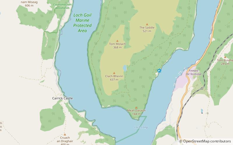
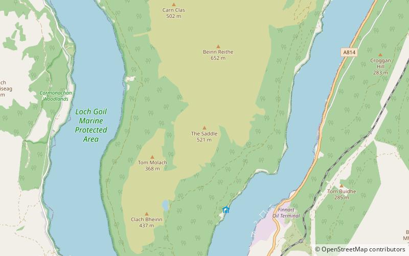
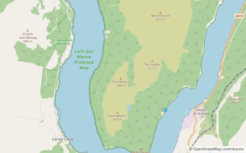
Clach Bheinn is a mountain near Lochgoilhead in the Ardgoil Peninsula and is within the Arrochar Alps. The Mountain reaches a height of 441m. ()
Coordinates: 56°6'56"N, 4°52'28"W
Address
Loch Lomond and The Trossachs National Park
ContactAdd
Social media
Add
Day trips
Clach Bheinn – popular in the area (distance from the attraction)
Nearby attractions include: Carrick Castle, Loch Goil, The Saddle, Beinn Reithe.


