The Saddle, Loch Lomond and The Trossachs National Park

Map
Facts and practical information
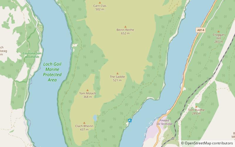
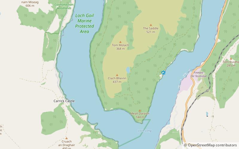
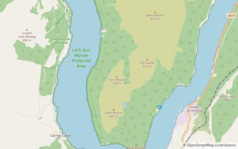
The Saddle is a mountain near Lochgoilhead in The Ardgoil Peninsula in Argyll. It reaches a height of 521m and is in the Arrochar Alps. ()
Coordinates: 56°7'53"N, 4°51'24"W
Address
Loch Lomond and The Trossachs National Park
ContactAdd
Social media
Add
Day trips
The Saddle – popular in the area (distance from the attraction)
Nearby attractions include: Finnart Oil Terminal, Beinn Reithe, Clach Bheinn, Tom Molach.
Frequently Asked Questions (FAQ)
Which popular attractions are close to The Saddle?
Nearby attractions include Beinn Reithe, Loch Lomond and The Trossachs National Park (8 min walk), Tom Molach, Loch Lomond and The Trossachs National Park (19 min walk).


