Alexandra Music Hall, Glasgow
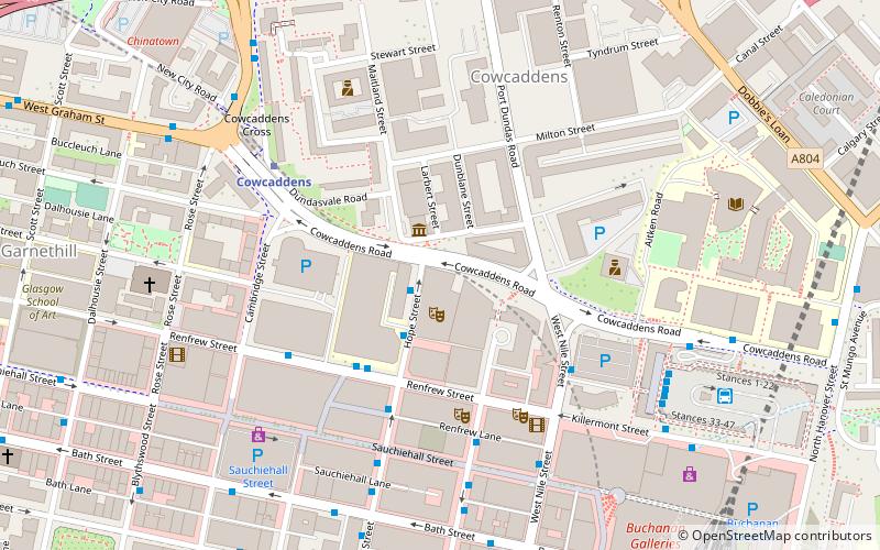
Map
Facts and practical information
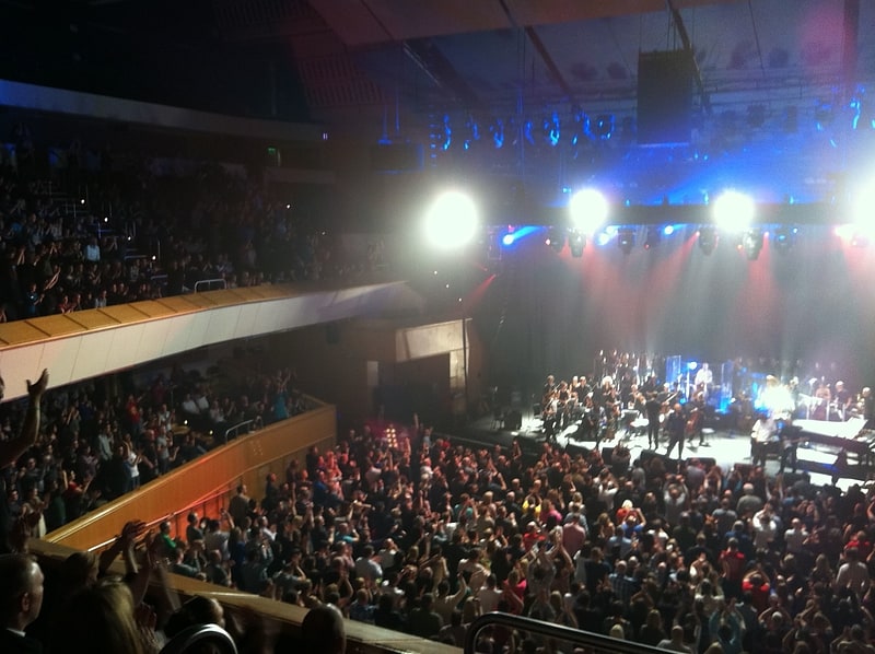
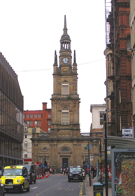
Alexandra Music Hall, also known as the Royal Alexandra Music Hall, and as the Colosseum Hall in the early 1880s, was a music hall situated in the Cowcaddens area of Glasgow, Scotland. Built in 1867 and capable of holding 700 people it was part of the Theatre Royal complex developed by James Baylis. After changing its name to the Bijou Picture Palace in 1908 it continued to operate as a variety-cinema until 1929 before closing due to safety concerns. Scottish Television bought the entire Theatre Royal complex in the 1950s, using the old Alexandra Hall for storage until its demolishing in 1969 to create extra space for colour TV studios to the east of the Theatre Royal. ()
Coordinates: 55°51'60"N, 4°15'22"W
Address
City Centre (Cowcaddens)Glasgow
ContactAdd
Social media
Add
Getting there by public transportation
Public transportation stops near this location
- Metro
- Bus
- Train
 Metro
Metro
- Calculate routeRenfrew Street / Scottish Conservatoire 3 min walk
- Calculate routeRenfrew Street / Hope Street 3 min walk
- Calculate routeRenfield Street / Pavilion Theatre 4 min walk
- Calculate routeHope Street / No 198 4 min walk
- Calculate routeCowcaddens 4 min walk
- Calculate routeBuchanan Street 8 min walk
- Calculate routeSt Georges Cross 15 min walk
- Calculate routeSt Enoch 16 min walk
- Calculate routeGlasgow Queen Street 9 min walk
- Calculate routeGlasgow Queen Street Low Level 10 min walk
- Calculate routeGlasgow Central 13 min walk
- Calculate routeCharing Cross 14 min walk
Day trips


Frequently Asked Questions (FAQ)
Which popular attractions are close to Alexandra Music Hall?
Nearby attractions include Theatre Royal, Glasgow (1 min walk), College of Piping, Glasgow (1 min walk), The National Piping Centre, Glasgow (2 min walk), Ingram Street, Glasgow (2 min walk).
How to get to Alexandra Music Hall by public transport?
The nearest stations to Alexandra Music Hall:
Bus
Metro
Train
Bus
- Renfrew Street / Scottish Conservatoire • Lines: c1 (3 min walk)
- Renfrew Street / Hope Street • Lines: 3 (3 min walk)
Metro
- Cowcaddens • Lines: Subway (4 min walk)
- Buchanan Street • Lines: Subway (8 min walk)
Train
- Glasgow Queen Street (9 min walk)
- Glasgow Queen Street Low Level (10 min walk)