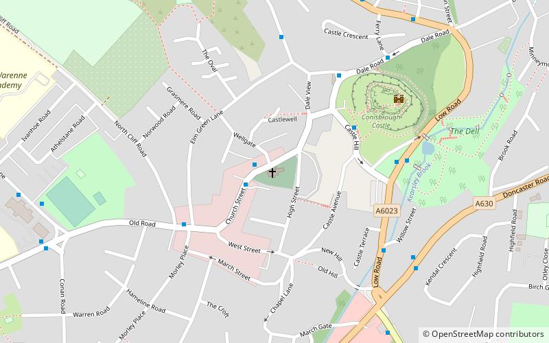
St. Peter's Church, Conisbrough

Gallery (1)
Map
Map
Facts and practical information
St. Peter's Church (address: Church Street) is a place located in Conisbrough (England kingdom) and belongs to the category of church.
It is situated at an altitude of 207 feet, and its geographical coordinates are 53°28'59"N latitude and 1°13'47"W longitude.
Among other places and attractions worth visiting in the area are: Conisbrough Castle, Doncaster (history museum, 4 min walk), St John the Evangelist's Church (church, 29 min walk), St James' Church (church, 49 min walk).
Coordinates: 53°28'59"N, 1°13'47"W
Day trips