Roath, Cardiff
Map

Map

Facts and practical information
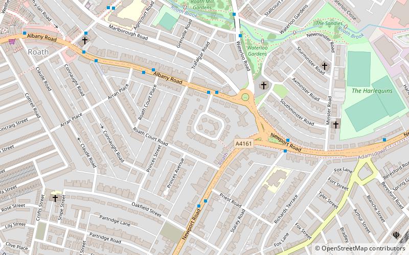
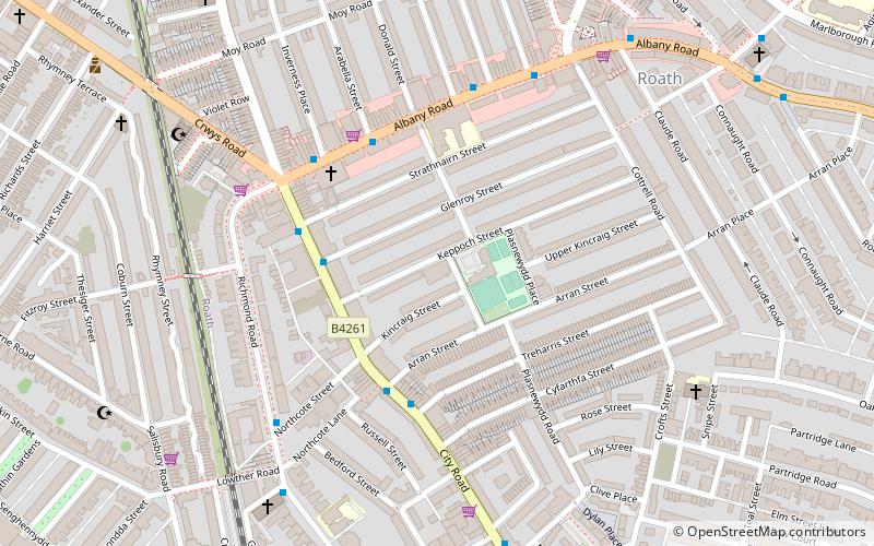
Roath is a district and community to the north-east of the city centre of Cardiff, capital of Wales. There is no community council for the area which is mostly covered by the Plasnewydd electoral ward, and stretches from Adamsdown in the south to Roath Park in the north. ()
Coordinates: 51°29'30"N, 3°9'26"W
Address
Canol Dinas Caerdydd (Plasnewydd)Cardiff
ContactAdd
Social media
Add
Day trips
Roath – popular in the area (distance from the attraction)
Nearby attractions include: Eglwys Dewi Sant, St Alban-on-the-Moors Church, City United Reformed Church, St Peter's Church.
Frequently Asked Questions (FAQ)
Which popular attractions are close to Roath?
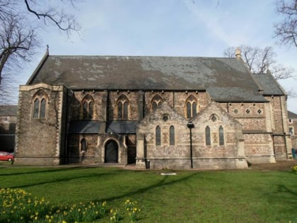
Nearby attractions include St Margaret's Church, Cardiff (4 min walk), Parkminster United Reformed Church, Cardiff (6 min walk), Albany Road Baptist Church, Cardiff (7 min walk), St. Peters RFC, Cardiff (8 min walk).
How to get to Roath by public transport?
The nearest stations to Roath:
Bus
Train
Bus
- Timbers Square • Lines: 1 (2 min walk)
- Roath Court Place • Lines: 1, 2 (4 min walk)
Train
- Cardiff Queen Street (23 min walk)
- Cathays (25 min walk)


