Midford Castle, Cotswold Water Park
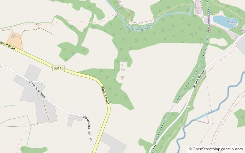
Map

Map

Facts and practical information
Midford Castle is a folly castle in the village of Midford, and the parish of Southstoke 3 miles south of Bath, Somerset, England. ()
Architectural style: GothicCoordinates: 51°21'2"N, 2°20'48"W
Address
Cotswold Water Park
ContactAdd
Social media
Add
Day trips
Midford Castle – popular in the area (distance from the attraction)
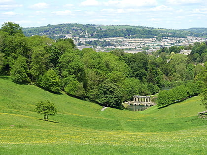
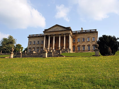
Nearby attractions include: Prior Park, Prior Park, The Packhorse, Combe Hay Locks.
Frequently Asked Questions (FAQ)
Which popular attractions are close to Midford Castle?
Nearby attractions include Combe Down Tunnel, Bath (12 min walk), Church of St James, Cotswold Water Park (21 min walk), St Michael's Church, Cotswold Water Park (23 min walk).
How to get to Midford Castle by public transport?
The nearest stations to Midford Castle:
Bus
Bus
- Wayside • Lines: 171, 172, 173, 174 (34 min walk)
- Odd Down Corner • Lines: 171, 172, 173, 174 (34 min walk)


