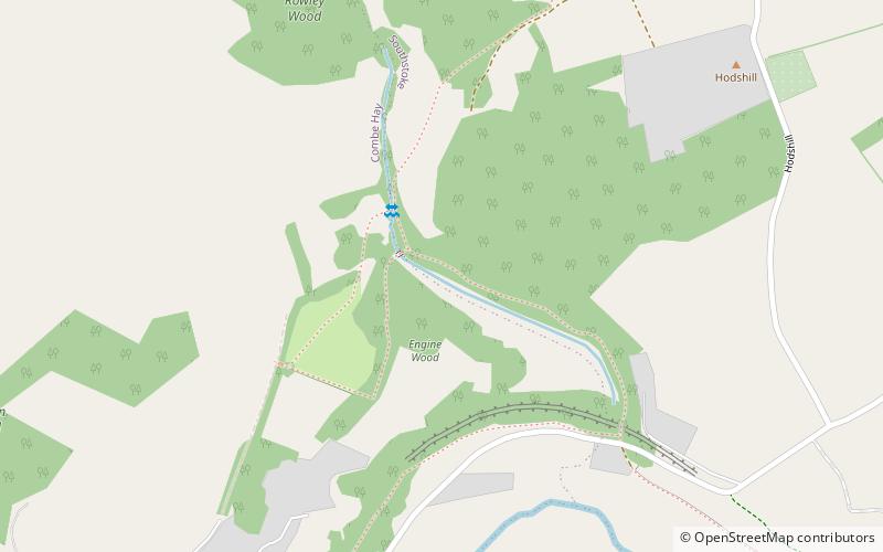
Combe Hay Locks, Bath
Map

Map

Facts and practical information
The Combe Hay Locks is a derelict flight of locks on the Somerset Coal Canal near Combe Hay, Somerset, England. Twenty two locks raised the canal 134 feet over approximately 1.6 miles. The lock flight was predated in the immediate area by two other methods of canal lifts—first by a series of caisson locks, then by an inclined plane. The lock flight opened in 1805, and was in operation until 1899. ()
Coordinates: 51°20'39"N, 2°22'13"W
Address
Bath
ContactAdd
Social media
Add
Day trips
Combe Hay Locks – popular in the area (distance from the attraction)
Nearby attractions include: The Packhorse, Midford Castle, Church of St James, Cross Keys Inn.
Frequently Asked Questions (FAQ)
Which popular attractions are close to Combe Hay Locks?
Nearby attractions include Church of St James, Cotswold Water Park (11 min walk), Combe Hay Manor, Cotswold Water Park (19 min walk).
How to get to Combe Hay Locks by public transport?
The nearest stations to Combe Hay Locks:
Bus
Bus
- P&r Odd Down • Lines: 41 (21 min walk)
- Burnt House • Lines: 171, 172, 173, 174 (24 min walk)


