Milecastle 10, Hadrian's Wall
Map

Map

Facts and practical information
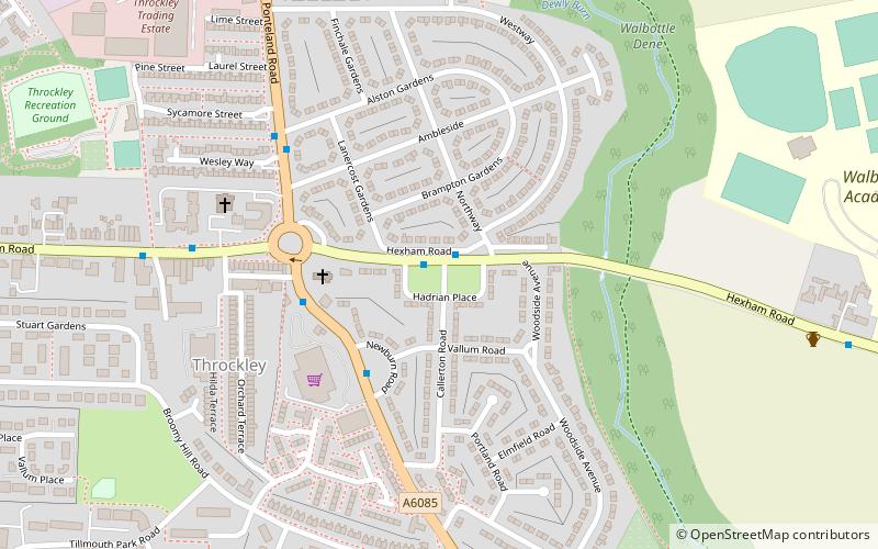
Milecastle 10 was a milecastle of the Roman Hadrian's Wall. It is located near to the modern village of Throckley in Tyne and Wear, northern England. Much of the milecastle lies beneath a road but partial remains of the north wall can be seen in the garden of Dene House. It has been excavated several times and its walls located, though the remains have been "considerably damaged by ploughing". Only one of the two associated turrets has been located and excavated. ()
Coordinates: 54°59'45"N, 1°45'5"W
Address
NewburnHadrian's Wall
ContactAdd
Social media
Add
Day trips
Milecastle 10 – popular in the area (distance from the attraction)
Nearby attractions include: Holy Cross Church, Newburn Bridge, Newburn Motor Museum, Newburn.
Frequently Asked Questions (FAQ)
Which popular attractions are close to Milecastle 10?
Nearby attractions include Newburn Motor Museum, Newcastle upon Tyne (20 min walk), Milecastle 9, Hadrian's Wall (23 min walk), Milecastle 11, Hadrian's Wall (24 min walk).
How to get to Milecastle 10 by public transport?
The nearest stations to Milecastle 10:
Bus
Bus
- North Walbottle • Lines: 62 (24 min walk)


