Newburn Bridge, Hadrian's Wall
Map

Map

Facts and practical information
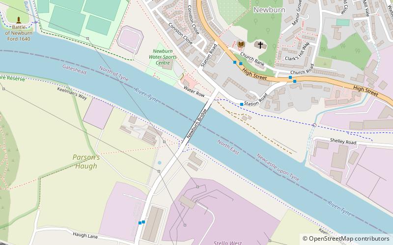
Newburn Bridge is a road bridge crossing the River Tyne at Newburn in Newcastle upon Tyne, England. It links Newburn, Walbottle and Throckley on the north side of the river with Ryton, Stella and Blaydon on the south side. The bridge is the westernmost crossing of the Tyne in the county of Tyne and Wear; the next crossing upstream, Wylam Bridge, is in Northumberland. ()
Opened: 21 May 1893 (132 years ago)Length: 475 ftWidth: 28 ftCoordinates: 54°58'51"N, 1°44'37"W
Address
Newburn bridge roadNewburnHadrian's Wall
ContactAdd
Social media
Add
Day trips
Newburn Bridge – popular in the area (distance from the attraction)
Nearby attractions include: Holy Cross Church, Blaydon, Newburn Motor Museum, Path Head Watermill.
Frequently Asked Questions (FAQ)
Which popular attractions are close to Newburn Bridge?
Nearby attractions include Newburn, Newcastle upon Tyne (5 min walk), Newburn Motor Museum, Newcastle upon Tyne (11 min walk), Holy Cross Church, Ryton (23 min walk).
How to get to Newburn Bridge by public transport?
The nearest stations to Newburn Bridge:
Bus
Bus
- Chapel House • Lines: 63 (36 min walk)
- Hillhead Parkway-Terminus • Lines: 63 (41 min walk)


