Milecastle 2, Hadrian's Wall
Map

Map

Facts and practical information
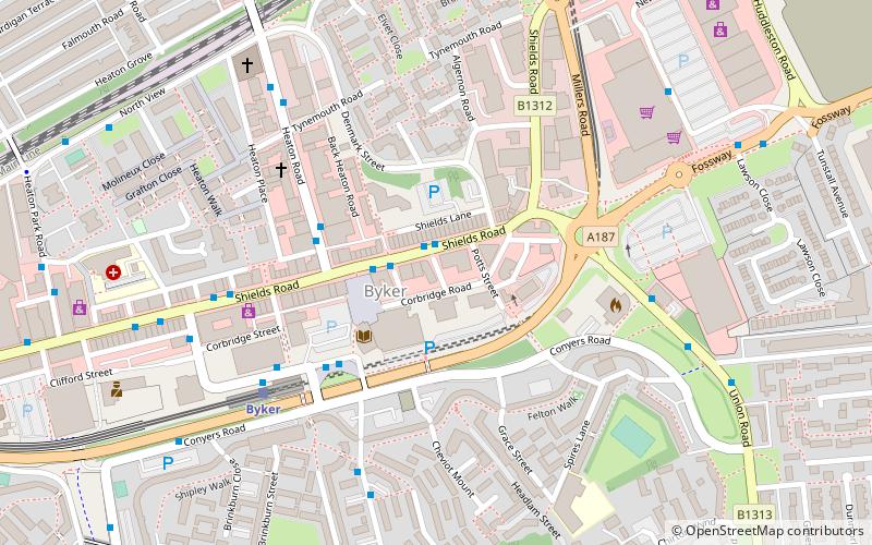
Milecastle 2 was a milecastle of the Roman Hadrian's Wall. No remains are currently visible, having been built over, but its probable location is at or near the junction of the A187 Fossway and Tunstall Avenue, in the parish of Wallsend. ()
Address
South HeatonHadrian's Wall
ContactAdd
Social media
Add
Day trips
Milecastle 2 – popular in the area (distance from the attraction)
Nearby attractions include: Baltic Centre for Contemporary Art, Gateshead Millennium Bridge, Sage Gateshead, Newcastle Stadium.
Frequently Asked Questions (FAQ)
Which popular attractions are close to Milecastle 2?
Nearby attractions include Ouseburn Valley, Newcastle upon Tyne (15 min walk), Seven Stories, Newcastle upon Tyne (16 min walk), Byker Bridge, Newcastle upon Tyne (17 min walk), Ouseburn Viaduct, Newcastle upon Tyne (17 min walk).
How to get to Milecastle 2 by public transport?
The nearest stations to Milecastle 2:
Bus
Light rail
Train
Bus
- Shields Road • Lines: 62, 63 (1 min walk)
- Byker • Lines: 18, 32, 62, 63 (3 min walk)
Light rail
- Byker • Lines: Yellow (5 min walk)
- Chillingham Road • Lines: Yellow (11 min walk)
Train
- Manors (31 min walk)


