Hope City Church, Newcastle upon Tyne
Map
Facts and practical information
Hope City Church is a charity consisting of 6 autonomous UK churches based in the United Kingdom. It was launched in Sheffield in 1991 by Dave and Jenny Gilpin who left Australia after viewing the Hillsborough Disaster in Sheffield. ()
Coordinates: 54°58'20"N, 1°35'55"W
Address
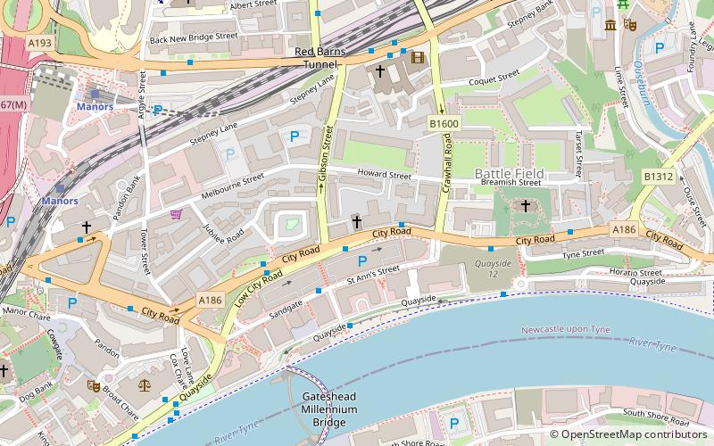
85 City RoadOuseburnNewcastle upon Tyne
ContactAdd
Social media
Add
Getting there by public transportation
Public transportation stops near this location
- Bus
- Light rail
- Train
 Bus
Bus
- Calculate routeNew Bridge Street-St Dominics-W/B 5 min walk
- Calculate routeNewcastle Manors 8 min walk
- Calculate routeTyne Bridge North End 11 min walk
- Calculate routeManors 7 min walk
- Calculate routeMonument 16 min walk
- Calculate routeHaymarket 19 min walk
- Calculate routeCentral Station 20 min walk
- Calculate routeManors 8 min walk
- Calculate routeNewcastle 20 min walk
Day trips


Frequently Asked Questions (FAQ)
Which popular attractions are close to Hope City Church?
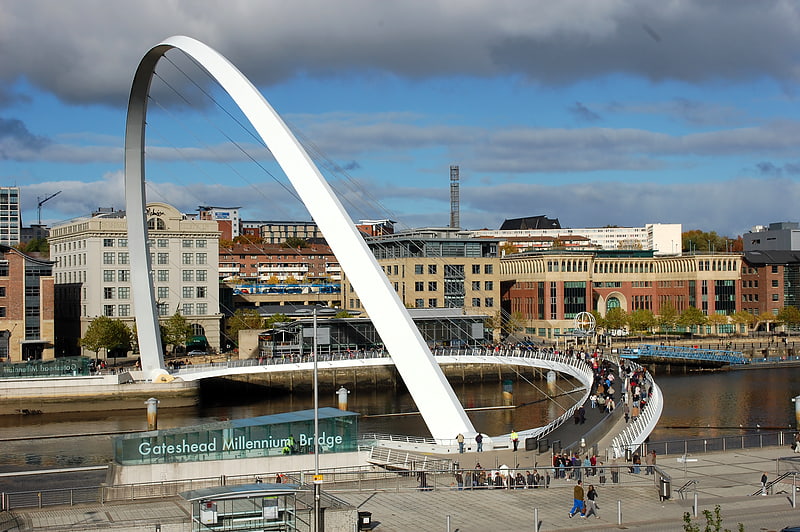
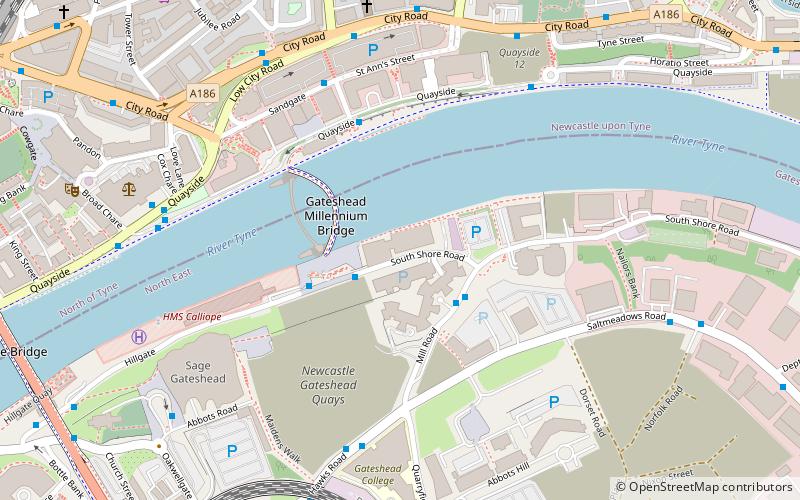
Nearby attractions include St Dominic's Church, Newcastle upon Tyne (4 min walk), Gateshead Millennium Bridge, Newcastle upon Tyne (5 min walk), Milecastle 3, Hadrian's Wall (5 min walk), Baltic Centre for Contemporary Art, Newcastle upon Tyne (6 min walk).
How to get to Hope City Church by public transport?
The nearest stations to Hope City Church:
Bus
Light rail
Train
Bus
- New Bridge Street-St Dominics-W/B • Lines: 62, 63 (5 min walk)
- Newcastle Manors • Lines: 32, 62, 63 (8 min walk)
Light rail
- Manors • Lines: Yellow (7 min walk)
- Monument • Lines: Green, Yellow (16 min walk)
Train
- Manors (8 min walk)
- Newcastle (20 min walk)