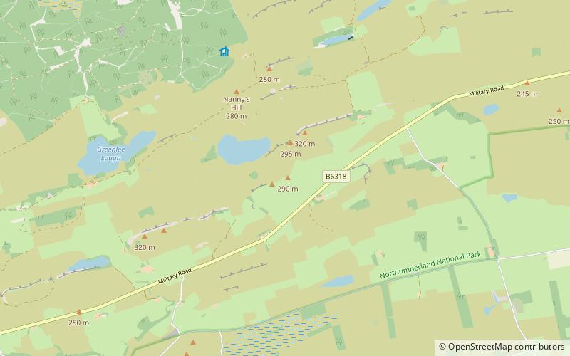
Milecastle 36, Hadrian's Wall
Map

Map

Facts and practical information
Milecastle 36 was one of the milecastles on Hadrian's Wall. There is little to see on the ground as most of the walls have been robbed and quarried away. ()
Coordinates: 55°1'5"N, 2°19'7"W
Address
Hadrian's Wall
ContactAdd
Social media
Add
Day trips
Milecastle 36 – popular in the area (distance from the attraction)
Nearby attractions include: Broomlee Lough, Housesteads Roman Fort, Greenlee Lough, Housesteads Roman Fort.
Frequently Asked Questions (FAQ)
Which popular attractions are close to Milecastle 36?
Nearby attractions include Knag Burn Gateway, Hadrian's Wall (12 min walk), Broomlee Lough, Hadrian's Wall (13 min walk), Housesteads Roman Fort, Haltwhistle (15 min walk), Housesteads Roman Fort, Hadrian's Wall (16 min walk).
How to get to Milecastle 36 by public transport?
The nearest stations to Milecastle 36:
Bus
Bus
- Housesteads • Lines: Ad122 (15 min walk)


