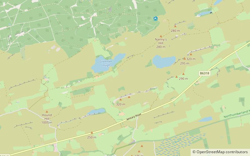
Greenlee Lough, Hadrian's Wall
Map

Map

Facts and practical information
Greenlee Lough is a lough or lake and national nature reserve 3 miles north of Bardon Mill, and 1.5 miles north of the B6318 road in Northumberland, northern England. ()
Elevation: 902 ft a.s.l.Coordinates: 55°1'0"N, 2°21'0"W
Address
Hadrian's Wall
ContactAdd
Social media
Add
Day trips
Greenlee Lough – popular in the area (distance from the attraction)
Nearby attractions include: Crag Lough, Sycamore Gap Tree, Broomlee Lough, Housesteads Roman Fort.
Frequently Asked Questions (FAQ)
Which popular attractions are close to Greenlee Lough?
Nearby attractions include Milecastle 37, Hadrian's Wall (15 min walk), Milecastle 38, Hadrian's Wall (18 min walk), Housesteads Roman Fort, Hadrian's Wall (21 min walk), Housesteads Roman Fort, Haltwhistle (21 min walk).
How to get to Greenlee Lough by public transport?
The nearest stations to Greenlee Lough:
Bus
Bus
- Housesteads • Lines: Ad122 (30 min walk)


