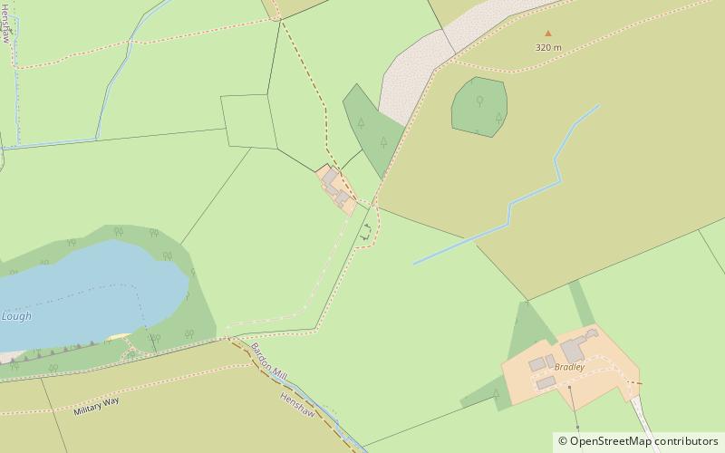
Milecastle 38, Hadrian's Wall
Map

Map

Facts and practical information
Milecastle 38 was a milecastle on Hadrian's Wall in the vicinity of Hotbank Farm,. It is notable for the joint inscription bearing the names of the emperor Hadrian and Aulus Platorius Nepos, the governor of Brittania at the time the Wall was built. ()
Coordinates: 55°0'26"N, 2°21'25"W
Address
Hadrian's Wall
ContactAdd
Social media
Add
Day trips
Milecastle 38 – popular in the area (distance from the attraction)
Nearby attractions include: Crag Lough, Vindolanda, Sycamore Gap Tree, Broomlee Lough.
Frequently Asked Questions (FAQ)
Which popular attractions are close to Milecastle 38?
Nearby attractions include Crag Lough, Hadrian's Wall (10 min walk), Greenlee Lough, Hadrian's Wall (18 min walk), Robin Hood Tree, Hadrian's Wall (19 min walk), Sycamore Gap Tree, Hadrian's Wall (19 min walk).


