Milecastle 5, Hadrian's Wall
Map

Map

Facts and practical information
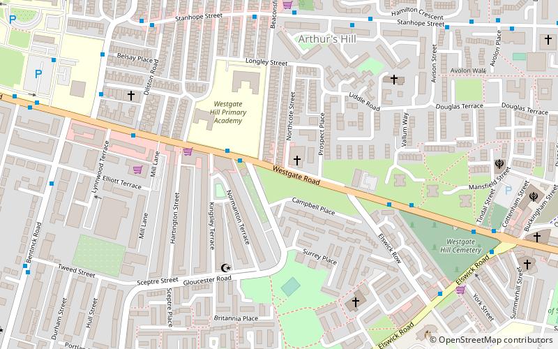
Milecastle 5 was the first milecastle west of Pons Aelius fort of the Roman Hadrian's Wall. No remains exist of the milecastle, though its supposed position is at the junction of the A186 Westgate road and the B1311 Corporation Street. No remains currently exist. ()
Coordinates: 54°58'22"N, 1°38'12"W
Address
ElswickHadrian's Wall
ContactAdd
Social media
Add
Day trips
Milecastle 5 – popular in the area (distance from the attraction)
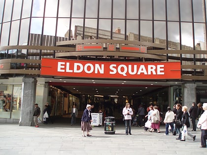
Nearby attractions include: Centre for Life, Metro Radio Arena, Eldon Square Shopping Centre, The Gate.
Frequently Asked Questions (FAQ)
Which popular attractions are close to Milecastle 5?
Nearby attractions include Summerhill Bowling Club, Newcastle upon Tyne (10 min walk), Discovery Museum, Newcastle upon Tyne (14 min walk), Tyne & Wear Archives & Museums, Newcastle upon Tyne (14 min walk), Tyne and Wear Archives, Newcastle upon Tyne (15 min walk).
How to get to Milecastle 5 by public transport?
The nearest stations to Milecastle 5:
Bus
Light rail
Train
Bus
- Arthur’s Hill Brighton Grove • Lines: 47 (7 min walk)
- Bentinck Road-Elliott Terrace-S/B • Lines: 32 (8 min walk)
Light rail
- St. James • Lines: Yellow (16 min walk)
- St James • Lines: Yellow (17 min walk)
Train
- Newcastle (22 min walk)
- MetroCentre (38 min walk)


