Milecastle 67, Carlisle
Map

Map

Facts and practical information
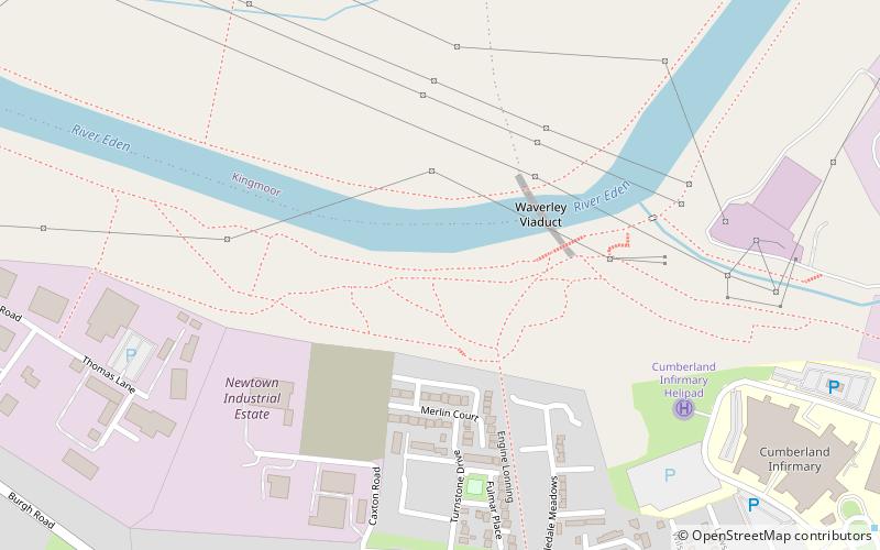
Milecastle 67 is a conjectured milecastle of the Roman Hadrian's Wall. The site of the milecastle has been calculated from measurement to known milecastle sites, but no remains providing proof of its existence have been identified, though Roman coins were found in 1861, during the digging of the adjacent railway cutting. ()
Coordinates: 54°53'56"N, 2°57'55"W
Address
Carlisle
ContactAdd
Social media
Add
Day trips
Milecastle 67 – popular in the area (distance from the attraction)
Nearby attractions include: Carlisle Cathedral, Carlisle Castle, Tullie House, Carlisle Civic Centre.
Frequently Asked Questions (FAQ)
Which popular attractions are close to Milecastle 67?
Nearby attractions include Milecastle 68, Hadrian's Wall (12 min walk), Etterby, Carlisle (22 min walk), Cumbria's Museum of Military Life, Carlisle (24 min walk), Carlisle Castle, Carlisle (24 min walk).


