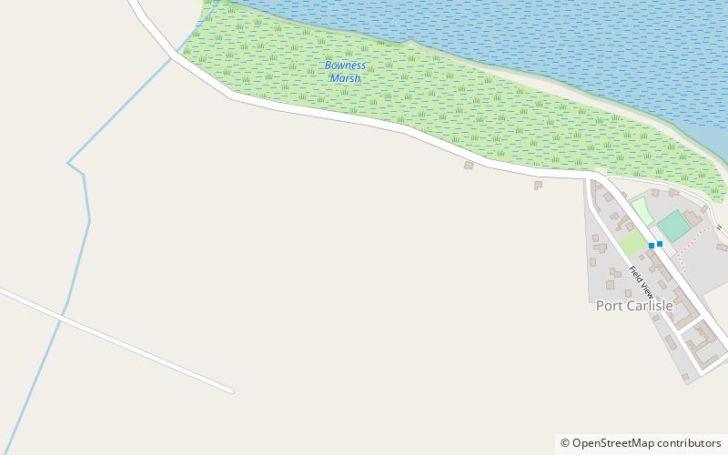
Milecastle 79, Hadrian's Wall
Map

Map

Facts and practical information
Milecastle 79 was one of a series of Milecastles or small fortlets built at intervals of approximately one Roman mile along Hadrian's Wall. ()
Coordinates: 54°56'56"N, 3°11'40"W
Address
Hadrian's Wall
ContactAdd
Social media
Add
Day trips
Milecastle 79 – popular in the area (distance from the attraction)
Nearby attractions include: St Michael's Church, Milecastle 78, Mais, Milecastle 80.
Frequently Asked Questions (FAQ)
Which popular attractions are close to Milecastle 79?
Nearby attractions include Mais, Hadrian's Wall (19 min walk), St Michael's Church, Hadrian's Wall (21 min walk), Milecastle 78, Hadrian's Wall (21 min walk), Milecastle 80, Hadrian's Wall (23 min walk).


