Milefortlet 21, Hadrian's Wall
Map

Map

Facts and practical information
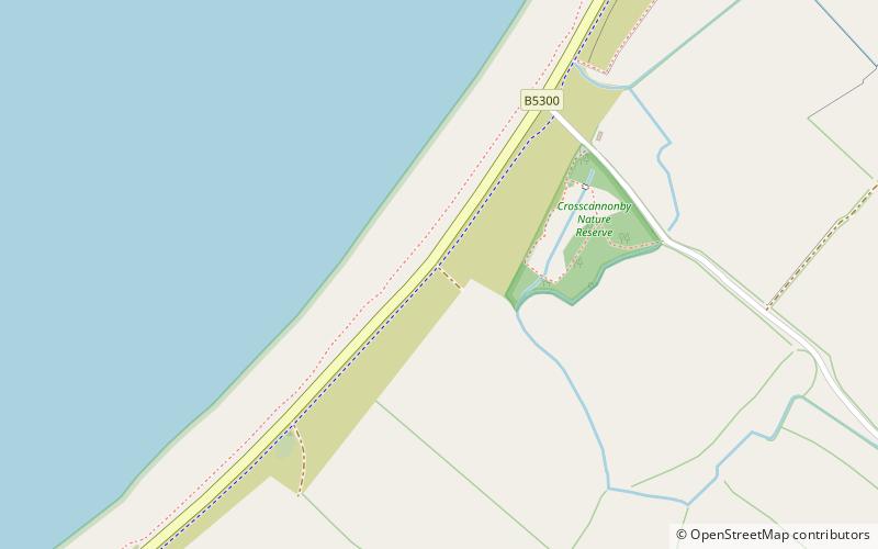
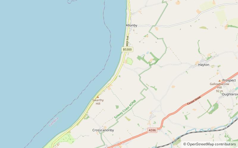
Milefortlet 21 was a Milefortlet of the Roman Cumbrian Coast defences. These defences were contemporary with defensive structures on Hadrian's Wall. Its remains exist as reconstructed turf ramparts and ditch, reinstated to its original profile. They are located on a low cliff on the coast, north of the village of Crosscanonby, and just inland from the coastal road. It is the only milefortlet to have been fully excavated and is open to the public. ()
Coordinates: 54°44'30"N, 3°27'25"W
Address
Hadrian's Wall
ContactAdd
Social media
Add
Day trips
Milefortlet 21 – popular in the area (distance from the attraction)
Nearby attractions include: St John the Evangelist's Church, Milefortlet 22, Milefortlet 23, Milefortlet 20.
Frequently Asked Questions (FAQ)
Which popular attractions are close to Milefortlet 21?
Nearby attractions include St John the Evangelist's Church, Hadrian's Wall (13 min walk), Milefortlet 22, Hadrian's Wall (14 min walk).


