Argaty Red Kites, Doune
Map

Map

Facts and practical information
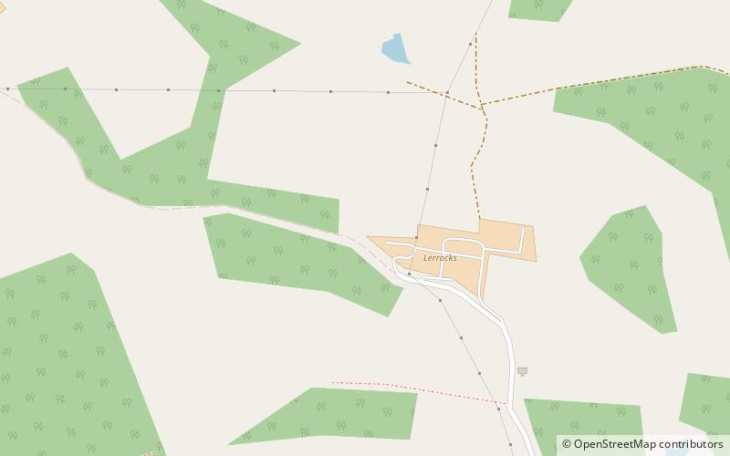
Argaty Red Kites (address: Lerrocks Farm) is a place located in Doune (Scotland kingdom) and belongs to the category of nature and wildlife, park.
It is situated at an altitude of 364 feet, and its geographical coordinates are 56°12'40"N latitude and 4°2'18"W longitude.
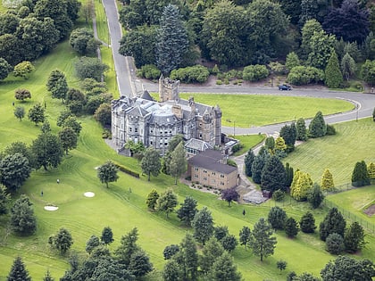
Among other places and attractions worth visiting in the area are: Argaty (ruins, 13 min walk), Kilbryde Castle (forts and castles, 31 min walk), Doune Hillclimb (sport venue, 36 min walk).
Elevation: 364 ft a.s.l.Coordinates: 56°12'40"N, 4°2'18"W
Day trips
Argaty Red Kites – popular in the area (distance from the attraction)
Nearby attractions include: Doune Castle, Blair Drummond Safari Park, Wallace Monument, Dunblane Cathedral.


