Moorbank Botanic Gardens, Newcastle upon Tyne
Map

Map

Facts and practical information
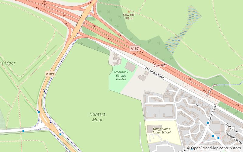
The Moorbank Botanic Garden was a university botanical garden in Newcastle upon Tyne, England. It occupied a 3 hectares site on Claremont Road to the west of the main Newcastle University campus, and was developed in the 1920s. Moorbank was leased from the Freemen of Newcastle until 2013, when the lease was not renewed and gardens were closed. ()
Day trips
Moorbank Botanic Gardens – popular in the area (distance from the attraction)
Nearby attractions include: Northumberland Street, Great North Museum: Hancock, Great North Museum, Eldon Square Shopping Centre.
Frequently Asked Questions (FAQ)
Which popular attractions are close to Moorbank Botanic Gardens?
Nearby attractions include Town Moor, Newcastle upon Tyne (11 min walk), Leazes Park, Newcastle upon Tyne (18 min walk), Castle Leazes, Newcastle upon Tyne (21 min walk), Exhibition Park, Newcastle upon Tyne (21 min walk).
How to get to Moorbank Botanic Gardens by public transport?
The nearest stations to Moorbank Botanic Gardens:
Bus
Light rail
Bus
- Ponteland Road • Lines: 62, 63 (7 min walk)
- Spital Tongues • Lines: 32, 47 (8 min walk)
Light rail
- St. James • Lines: Yellow (26 min walk)
- St James • Lines: Yellow (27 min walk)


