Holton Heath

Map
Facts and practical information
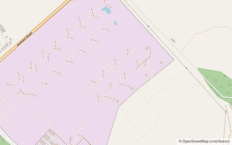
Holton Heath is an area of the parish of Wareham St. Martin, Dorset, England. The area includes a trading estate, on the site of the former Royal Navy Cordite Factory, Holton Heath,. East of the trading estate is the Holton Heath National Nature Reserve, currently closed to the public. ()
Elevation: 33 ft a.s.l.Coordinates: 50°43'24"N, 2°4'9"W
Location
England
ContactAdd
Social media
Add
Day trips
Holton Heath – popular in the area (distance from the attraction)
Nearby attractions include: Upton Country Park, Wareham Town Museum, Poole Bridge, Ham Common.


