Distance Marker, Bexhill

Gallery (1)
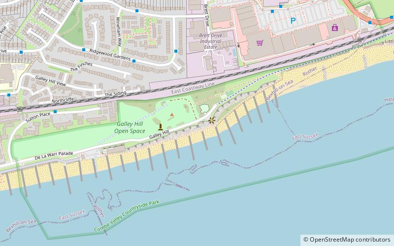
Map
Map
Facts and practical information
Distance Marker is a place located in Bexhill (England kingdom) and belongs to the category of monuments and statues.
It is situated at an altitude of 46 feet, and its geographical coordinates are 50°50'30"N latitude and 0°29'50"E longitude.
Planning a visit to this place, one can easily and conveniently get there by public transportation. Distance Marker is a short distance from the following public transport stations: Bexhill (train, 25 min walk), The Harp (bus, 27 min walk).
Among other places and attractions worth visiting in the area are: Galley Hill Open Space (park, 2 min walk), 1902 motor racing starting line (monuments and statues, 3 min walk), Ravenside Retail & Leisure Park (shopping, 7 min walk).
Coordinates: 50°50'30"N, 0°29'50"E
Address
Bexhill
ContactAdd
Social media
Add
Getting there by public transportation
Public transportation stops near this location
- Bus
- Train
 Bus
Bus
- Calculate routeBexhill 25 min walk
- Calculate routeThe Harp 27 min walk
Day trips


Frequently Asked Questions (FAQ)
Which popular attractions are close to Distance Marker?
Nearby attractions include Galley Hill Open Space, Bexhill (2 min walk), 1902 motor racing starting line, Bexhill (3 min walk), Bexhill College, Bexhill (13 min walk), The Serpollet, Bexhill (19 min walk).
How to get to Distance Marker by public transport?
The nearest stations to Distance Marker:
Train
Bus
Train
- Bexhill (25 min walk)
Bus
- The Harp • Lines: 11, 12, 13, 14 (27 min walk)