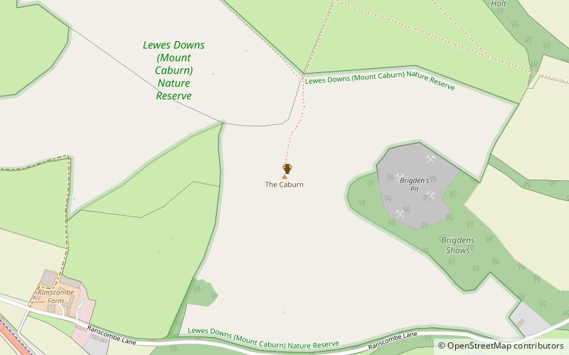
Mount Caburn, Sussex Downs AONB
Map

Map

Facts and practical information
Mount Caburn is a 480-foot prominent landmark in East Sussex, England, about one mile east of Lewes overlooking the village of Glynde. It is the highest part of an outlier of the South Downs, separated from the main range by Glynde Reach, a tributary of the River Ouse. ()
Coordinates: 50°51'42"N, 0°3'3"E
Day trips
Mount Caburn – popular in the area (distance from the attraction)
Nearby attractions include: Glyndebourne, Malling Down, Glynde Place, Southerham Farm.
Frequently Asked Questions (FAQ)
Which popular attractions are close to Mount Caburn?
Nearby attractions include Southerham Farm, Ringmer (18 min walk), Glynde Place, Sussex Downs AONB (21 min walk), St Mary's Church, Sussex Downs AONB (21 min walk).
How to get to Mount Caburn by public transport?
The nearest stations to Mount Caburn:
Train
Train
- Glynde (22 min walk)


