St James's, London
Map
Gallery
Facts and practical information
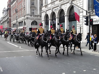
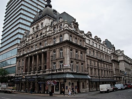
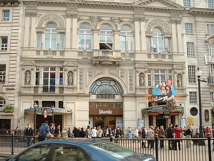
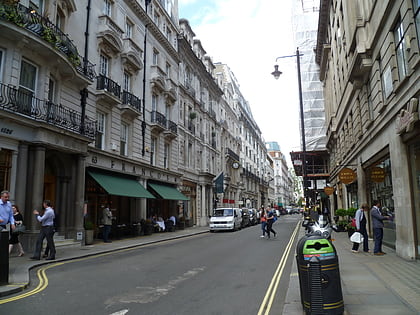
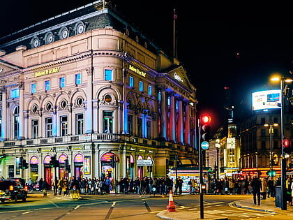
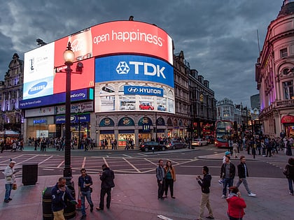
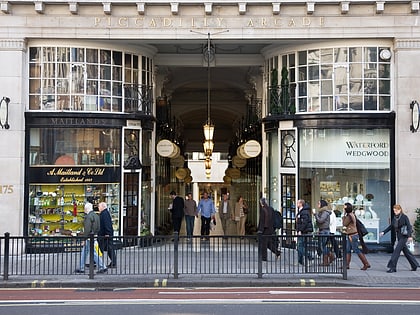
St James's is a central district in the City of Westminster, London, forming part of the West End. In the 17th century the area developed as a residential location for the British aristocracy, and around the 19th century was the focus of the development of gentlemen's clubs. Once part of the parish of St Martin in the Fields, much of it formed the parish of St James from 1685 to 1922. Since the Second World War the area has transitioned from residential to commercial use. ()
Address
City of Westminster (St. James's)London
ContactAdd
Social media
Add
Day trips
St James's – popular in the area (distance from the attraction)
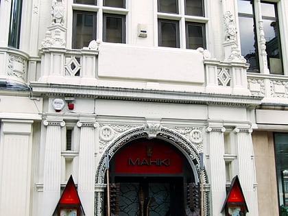
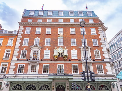
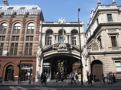
Nearby attractions include: Royal Academy of Arts, Piccadilly Market, Mahiki, Fortnum & Mason.
Frequently Asked Questions (FAQ)
Which popular attractions are close to St James's?
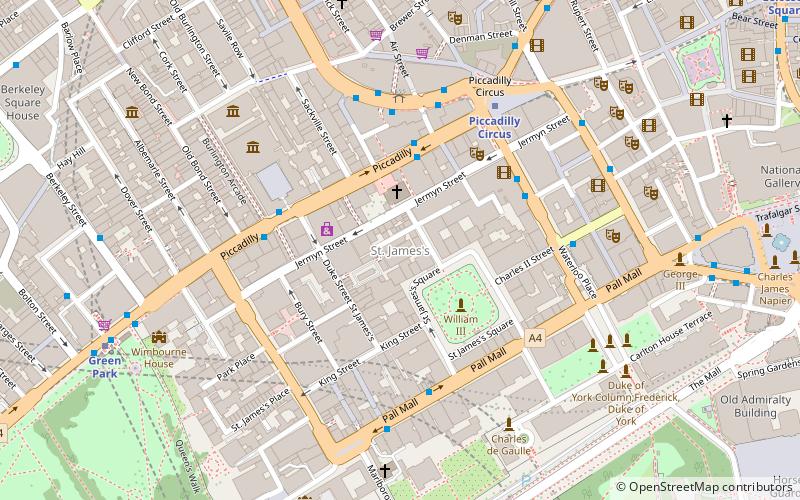
Nearby attractions include The Scotch of St. James, London (1 min walk), Jermyn Street, London (1 min walk), Getti, London (3 min walk), Colnaghi, London (3 min walk).
How to get to St James's by public transport?
The nearest stations to St James's:
Bus
Metro
Train
Ferry
Bus
- Piccadilly Circus • Lines: 38, N38 (3 min walk)
- Old Bond Street / Royal Academy • Lines: 38, N38 (4 min walk)
Metro
- Piccadilly Circus • Lines: Bakerloo, Piccadilly (5 min walk)
- Green Park • Lines: Jubilee, Piccadilly, Victoria (7 min walk)
Train
- Charing Cross (15 min walk)
- London Victoria (25 min walk)
Ferry
- Embankment • Lines: Green Tour, Rb1, Rb1X, Rb2, Rb6 (17 min walk)
- Westminster Pier • Lines: Blue Tour, Green Tour, Rb1, Rb1X, Rb2, Red Tour (19 min walk)

 Tube
Tube
