New Town, Luton
Map
Facts and practical information
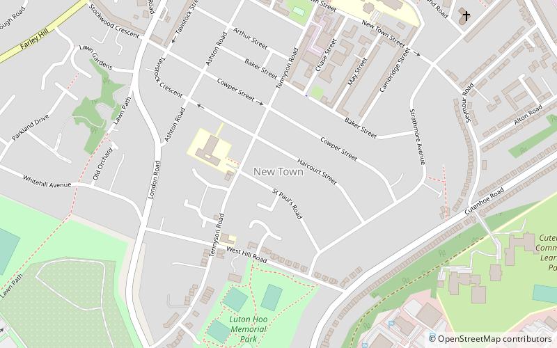
New Town is a district of Luton just south east of the town centre. It is roughly bounded by Castle Street and London Road to the west, Seymour Road to the East, New Town Street to the North, and Cutenhoe Road to the south. ()
Coordinates: 51°52'13"N, 0°24'51"W
Address
South LutonLuton
ContactAdd
Social media
Add
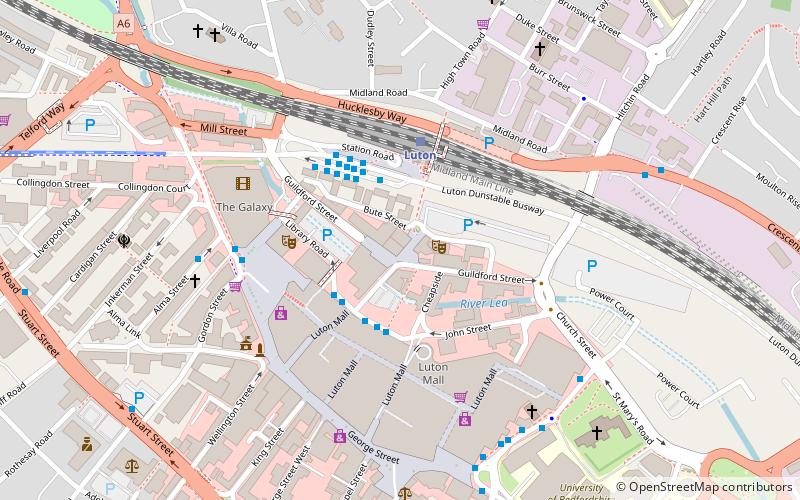
Getting there by public transportation
Public transportation stops near this location
- Bus
- Train
 Bus
Bus
- Calculate routePark Square 14 min walk
- Calculate routeChurch Street 17 min walk
- Calculate routeLuton Airport Parkway Station 20 min walk
- Calculate routeLuton Airport Parkway 21 min walk
- Calculate routeLuton 22 min walk
Day trips


Frequently Asked Questions (FAQ)
Which popular attractions are close to New Town?
Nearby attractions include Our Lady Help of Christians Church, Luton (11 min walk), Stockwood Discovery Centre, Luton (12 min walk), Mossman Collection, Luton (14 min walk), University of Bedfordshire, Luton (14 min walk).
How to get to New Town by public transport?
The nearest stations to New Town:
Bus
Train
Bus
- Park Square • Lines: 612 (14 min walk)
- Church Street • Lines: 610, 612 (17 min walk)
Train
- Luton Airport Parkway (21 min walk)
- Luton (22 min walk)