Heron Trail
Map
Facts and practical information
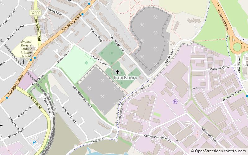
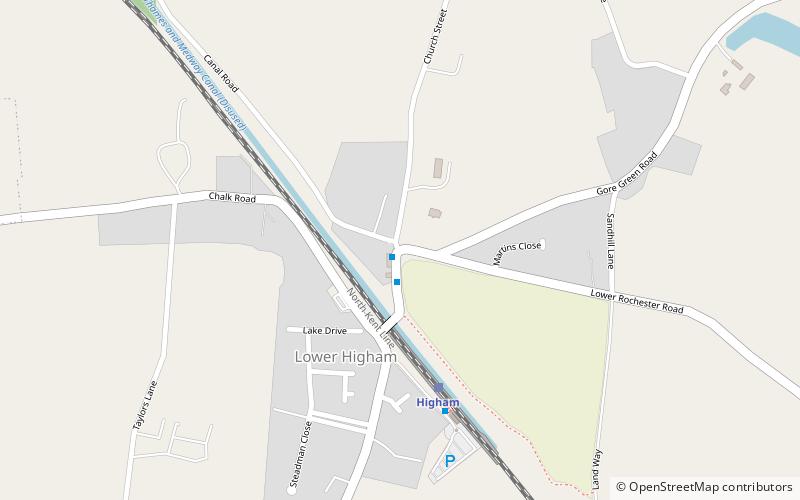
The Heron Trail is 15+1⁄2-mile long cycling trail that links with National Cycle Route 1 between Higham and Strood, then it heads around the Hoo Peninsula via Regional route 18 passing through 'Hoo St Werburgh', 'High Halstow' and 'Cliffe' before returning to Higham. It has a mixture of rural and maritime interest, with views of the River Medway and River Thames. ()
Length: 15.5 miCoordinates: 51°25'44"N, 0°27'55"E
Day trips