All Saints' Church, Newcastle upon Tyne
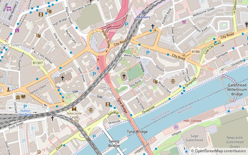
Map

Map

Facts and practical information
All Saints' Church is a late 18th-century church in Lower Pilgrim Street, Newcastle upon Tyne, England, which replaced a medieval church on the same site. All Saints' Church is the only elliptical church building in England, the third tallest religious building in Newcastle and the ninth-tallest structure in the city overall. It is a Grade I listed building. ()
Coordinates: 54°58'12"N, 1°36'25"W
Address
48 Pilgrim StreetOuseburnNewcastle upon Tyne NE1 6SF
Contact
+44 191 261 2457
Social media
Add
Day trips
All Saints' Church – popular in the area (distance from the attraction)
Nearby attractions include: Tup Tup Palace, Baltic Centre for Contemporary Art, Gateshead Millennium Bridge, Sage Gateshead.
Frequently Asked Questions (FAQ)
Which popular attractions are close to All Saints' Church?
Nearby attractions include Trinity House, Newcastle upon Tyne (2 min walk), Live Theatre, Newcastle upon Tyne (3 min walk), Holy Jesus Hospital, Newcastle upon Tyne (3 min walk), Bessie Surtees House, Newcastle upon Tyne (3 min walk).
How to get to All Saints' Church by public transport?
The nearest stations to All Saints' Church:
Bus
Train
Light rail
Bus
- Tyne Bridge North End • Lines: 97 (2 min walk)
- High Level Bridge North End • Lines: 97 (5 min walk)
Train
- Manors (5 min walk)
- Newcastle (11 min walk)
Light rail
- Manors • Lines: Yellow (8 min walk)
- Monument • Lines: Green, Yellow (10 min walk)


