Cold Fell, Geltsdale RSPB reserve

Gallery (1)
Map
Map
Facts and practical information
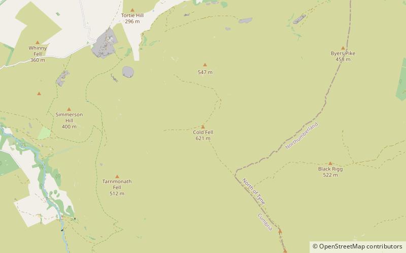
Cold Fell is a mountain in the northern Pennines, in Cumbria, England. Lying among the northernmost uplands of the North Pennines AONB, it is the most northerly mountain in Cumbria and is listed as a Marilyn due to its prominence of 168m. ()
Elevation: 2037 ftProminence: 551 ftCoordinates: 54°53'38"N, 2°36'59"W
Address
Geltsdale RSPB reserve
ContactAdd
Social media
Add
Day trips


