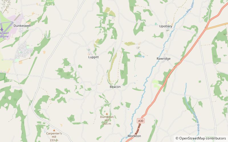
Hartridge Hill, Ringdown SSSI

Map
Facts and practical information
Hartridge Hill is an elongated, peat hill situated in the Luppitt catchment area of East Devon, England. Mostly privately owned and primarily used for farming this is, with a peak rising 261 metres asl, one of the highest spots in the Otter Valley. At its highest and most southerly point there is a tumulus or burial mound. ()
Coordinates: 50°50'47"N, 3°10'1"W
Address
Ringdown SSSI
ContactAdd
Social media
Add
Day trips
Hartridge Hill – popular in the area (distance from the attraction)
Nearby attractions include: Honiton Community College, Mansell Raceway, Hemyock Castle, Hembury.


