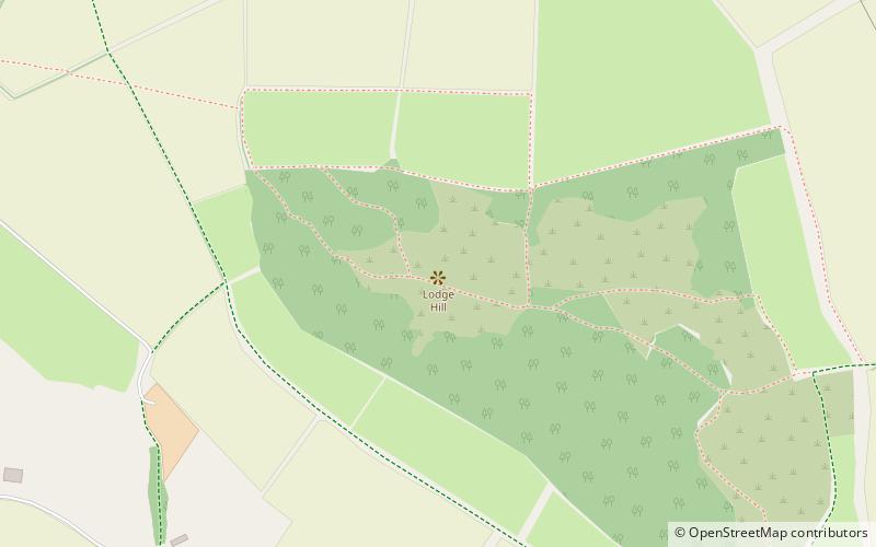
Lodge Hill
Map

Map

Facts and practical information
Lodge Hill is a 31.8-hectare Site of Special Scientific Interest north of Bledlow Ridge in Buckinghamshire. The local planning authorities are Wycombe District Council and Buckinghamshire County Council. The site is in the Chilterns Area of Outstanding Natural Beauty, and The Ridgeway long-distance footpath crosses it. ()
Coordinates: 51°41'42"N, 0°51'25"W
Location
England
ContactAdd
Social media
Add
Day trips
Lodge Hill – popular in the area (distance from the attraction)
Nearby attractions include: Hellfire Caves, St Lawrence's Church, St Mary the Virgin, Whiteleaf Hill.


